Catalog Archive
Auction 183, Lot 241

"Map of the State of Vermont", Thompson, Zadock
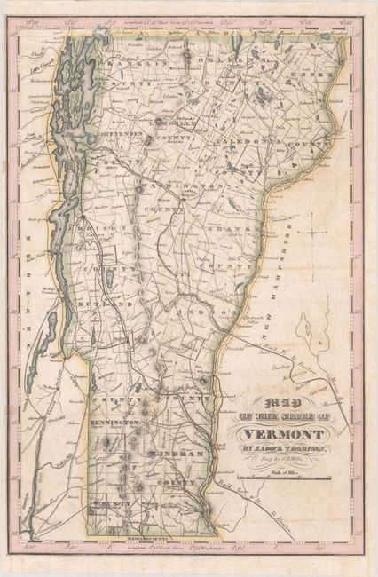
Subject: Vermont

Period: 1853 (published)

Publication: History of Vermont

Color: Hand Color

Size:
7.5 x 11.3 inches
19.1 x 28.7 cm
Download High Resolution Image
(or just click on image to launch the Zoom viewer)

This county map of the state of Vermont gives great detail of roads, townships, lakes, and the river system. This is the second edition of this map with the addition of railroad lines. Engraved by J. H. Hills.

References: cf. Rumsey #1005.002.

Condition: B+

Issued folding with light offsetting and a couple tiny fold separations at left that have been repaired on verso.

Estimate: $120 - $150

Unsold

Closed on 6/9/2021

Archived