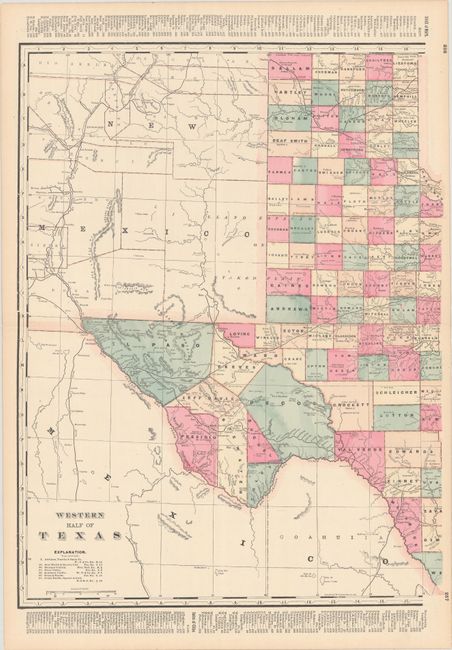
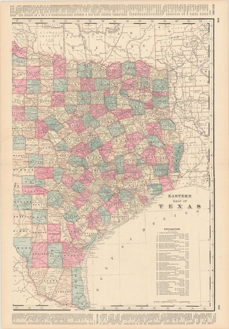
Subject: Texas
Period: 1896 (circa)
Publication:
Color: Printed Color
Size:
16.6 x 22 inches
42.2 x 55.9 cm
This pair of Texas maps likely comes from one of Cram's railway atlases published in the late 1890s. The western sheet identifies the Llano Estacado or Staked Plan and extends to include part of New Mexico and Mexico. The eastern sheet includes counties from Indian Territory, Arkansas, and Louisiana. County development is current to 1896, with Greer now a part of Oklahoma Territory and Buchel and Foley not yet incorporated into Brewster. Railroads are identified on both sheets with a key below the title.
References:
Condition: A
Clean and colorful examples with a hint of toning along the edges of the sheets. The western sheet has a tiny hole above the title only visible when held to light.