Catalog Archive
Auction 183, Lot 220

First Edition

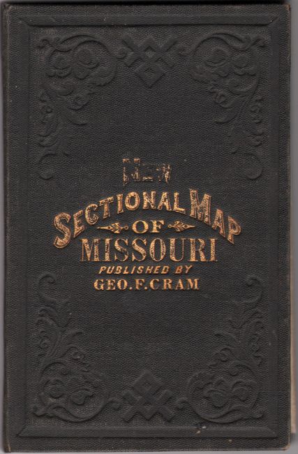
"New Sectional Map of the State of Missouri Engraved from Official Draughts of Each County", Cram, George F. & Company
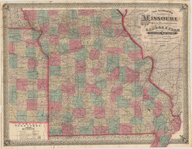
Subject: Missouri

Period: 1869 (dated)

Publication:

Color: Hand Color

Size:
34.9 x 27.1 inches
88.6 x 68.8 cm
Download High Resolution Image
(or just click on image to launch the Zoom viewer)

This is Cram's first edition pocket map of the state published from his address at 148 Lake Street. Highly detailed, it locates completed railroads, railroads in progress, county seats, villages, post offices and more. Several mines are named in the southeastern part of state including Sandy Mines, Hunts Mines, and Mammoth Mines. County configuration is current to the date of the map and extends to include portions of Illinois, Arkansas, Indian Territory, Kansas and Nebraska. Folds into brown cloth boards with gilt title on the front cover.

References: cf. Rumsey #203 (1871 edition).

Condition: B+

Issued folding with scattered foxing and some small stains. The map is loose from the boards, which have only minor wear.

Estimate: $400 - $475

Sold for: $300

Closed on 6/9/2021

Archived