Subject: Great Lakes, St. Lawrence River
Period: 1857 (published)
Publication:
Color: Black & White
Size:
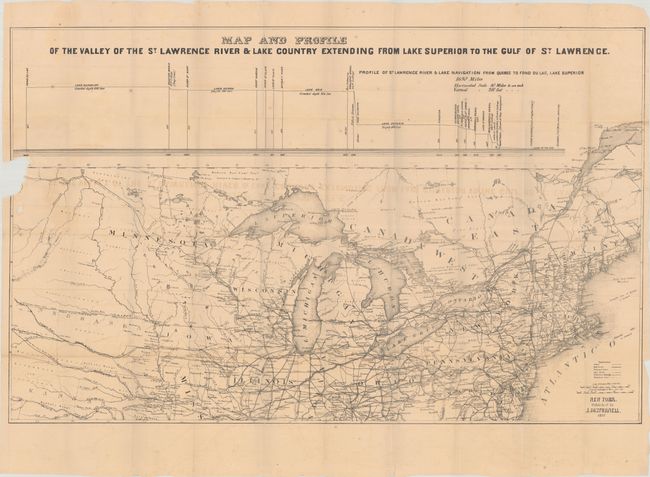
30.4 x 19.1 inches
77.2 x 48.5 cm
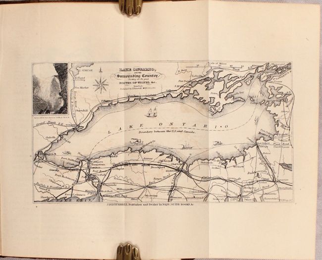
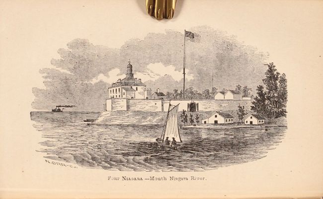
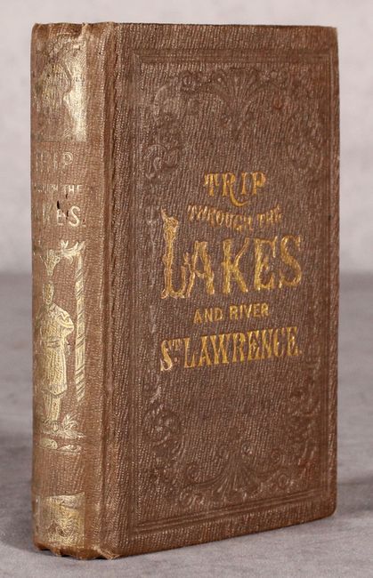
This interesting map covers the course of the St. Lawrence River and the Great Lakes region. It stretches from the mouth of the St. Lawrence west to Fort Laramie and extends as far south as Jefferson City, Missouri. The map depicts canals, railroads (both completed and unfinished), telegraph lines, stage routes, and steamboat lines. The Emigrants Route from Independence to San Francisco is delineated, as are proposed various proposed transcontinental railroads. Above the map is a profile depicting the river and lake navigation from Quebec to Fond du Lac, Lake Superior. The map is included in John Disturnell's guidebook "for the pleasure traveler and emigrant" through the St. Lawrence and Great Lakes. The book (4.3 x 6.4") describes various trips through the region and includes 12 black & white illustrations and a small map of Lake Ontario. 364 pages plus an appendix of advertisements. Hardbound in embossed brown cloth boards with gilt title on front cover and gilt title and decorations on spine.
References:
Condition: B
The folding map has light toning and offsetting, a number of tiny fold separations, and a chip at left where the map was detached from the book. The book's contents are also lightly toned with a few dampstains. Hinges are starting, covers are lightly worn, and the spine is lightly sunned.