Subject: Geography Books
Period: 1828 (published)
Publication:
Color: Hand Color
Size:
3.8 x 6.1 inches
9.7 x 15.5 cm
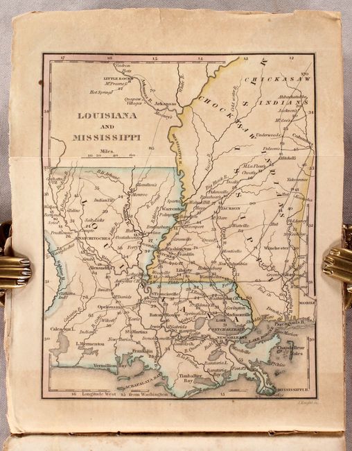
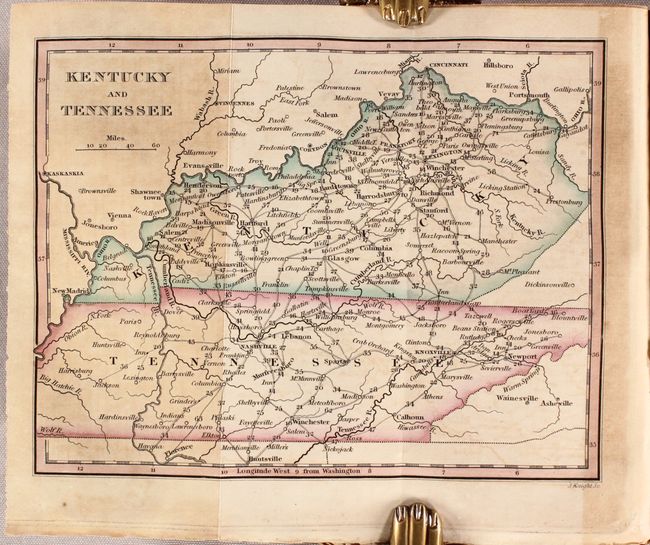
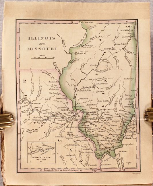
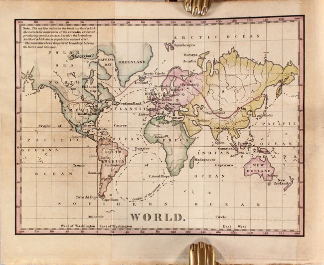
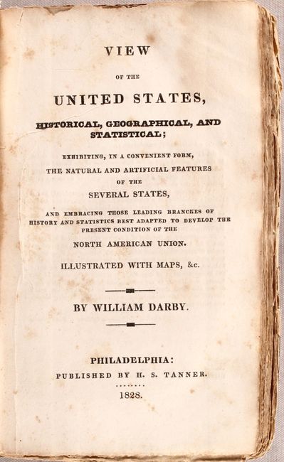
This book is filled with information about the history, natural and political geography, and the climate of the United States. It also contains the latest information returned from the Stephen Long expedition on the western frontier. The preface includes a letter from Long attesting to the accuracy of this publication on the climate and temperatures of the West. It is complete in all regards and contains the 14 called-for engraved maps. The maps all focus on the United States plus one map of the world drawn on Mercator's Projection that has a red line showing the northern limits of grain cultivation and marks the boundary between the horse and rein deer. The other maps are Georgia and Alabama; North & South Carolina; Virginia, Maryland and Delaware; Pennsylvania and New Jersey; New York; New England; Falls of Niagara and Adjacent Country; Louisiana and Mississippi; Part of Louisiana: Delta of the Mississippi; Kentucky and Tennessee; Illinois and Missouri; Part of Maine; and Ohio and Indiana. The small (6.4 x 4.8") folding maps all show good detail with roads, topography, towns, Indian villages and reservation lands.
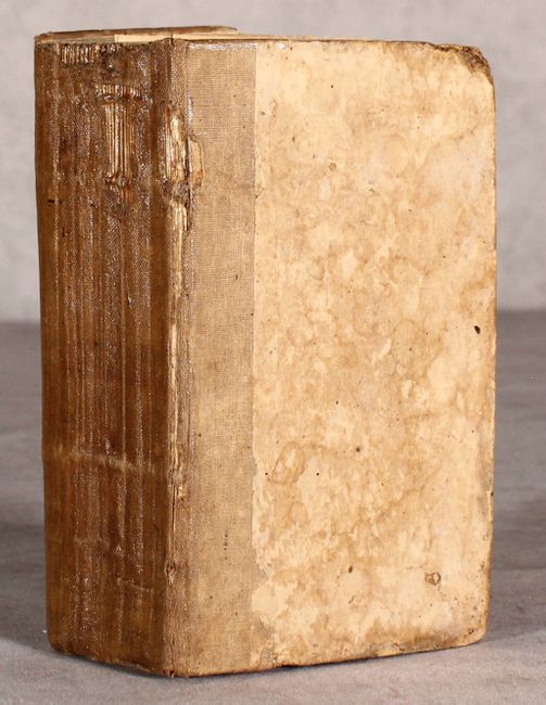
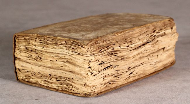
Published in Philadelphia by H.S. Tanner. These maps also appeared in Tanner's A New Pocket Atlas of the United States, which was also published in 1828. Hardbound in original cloth over stiff boards. Two volumes bound as one. 622 pages of untrimmed text with Tanner's list of maps at the end.
References: Howes #D-67; Sabin #18535.
Condition: B
The folding maps have some light toning primarily where they fold into the text. Untrimmed text is moderately foxed with the Illinois/Missouri map and one page of text loose. Covers are worn and stained.