Catalog Archive
Auction 182, Lot 532

"Accurata Delineatio Episcopat. Frisingensis, una cum Dynastia Burkrainensi et Comitatu Werdenfelsensi Episcopatui Subjectis...", Seutter, Matthias

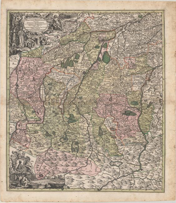
Subject: Southern Germany

Period: 1731 (circa)

Publication:

Color: Hand Color

Size:
19.3 x 22.1 inches
49 x 56.1 cm
Download High Resolution Image
(or just click on image to launch the Zoom viewer)

This handsome map of the Diocese of Freising in Bavaria covers the region between Freising and Hall in Tirol, and Landsberg am Lech and Wasserburg including Munich and the Bavarian lakes. The map is densely engraved with information on the mountainous topography and hundreds of place names, castles, fortifications, forests, marshes, canals, and roads. It is richly embellished with two cartouches featuring scenes of hunting, farming, and fishing and the coat of arms that features the Moor of Freising.

References:

Condition: B+

A dark impression with contemporary color. There is some light toning along the centerfold and light scattered foxing that is almost entirely confined to the blank margins. The sheet is backed in archival paper, closing some edge tears in the margins.

Estimate: $300 - $375

Sold for: $170

Closed on 4/28/2021

Archived