Catalog Archive
Auction 182, Lot 501
"Landgraviatus Alsatiae tam Superioris quam Inferi cum Utroque Marchionatu Badense ut et Tractu Herciniae Silvae ac Ditione Quatuor Urbium Silvestr", Homann, Johann Baptist
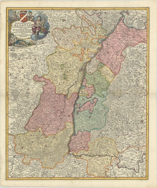
Subject: Northeastern France & Southwestern Germany, Rhine River
Period: 1720 (circa)
Publication:
Color: Hand Color
Size:
19 x 22.8 inches
48.3 x 57.9 cm
Download High Resolution Image
(or just click on image to launch the Zoom viewer)
(or just click on image to launch the Zoom viewer)