Catalog Archive
Auction 182, Lot 500

"Les Postes qui Traversent la France. Corrigees et Augmentees Suivant les Derniers. Establissements", Sanson, Nicolas
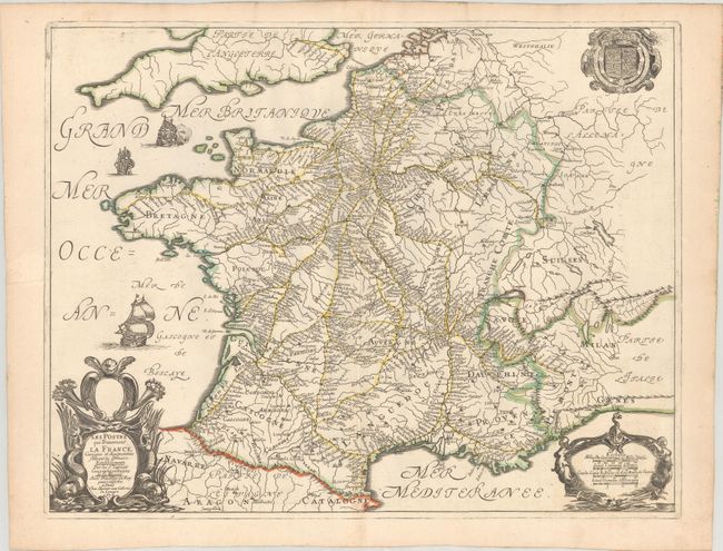
Subject: France

Period: 1676 (dated)

Publication:

Color: Hand Color

Size:
20.5 x 15.8 inches
52.1 x 40.1 cm
Download High Resolution Image
(or just click on image to launch the Zoom viewer)

This beautifully engraved map delineates the postal roads in France. It is based on the first postal map of France by Melchior Tavernier (1632), with virtually identical cartouches and decorative features. Ornate cartouches for the title and distance scales decorate the bottom corners. There are three sailing ships, two in the English Channel and one in the Bay of Biscay. The coat of arms of the Kingdom of France looms in the top right corner.

References:

Condition: A

A fine impression with contemporary outline color on a sheet with a fleur-de-lis watermark. There is some minor offsetting and light toning along the edges of the sheet.

Estimate: $240 - $300

Sold for: $120

Closed on 4/28/2021

Archived