Catalog Archive
Auction 182, Lot 484

"[On 2 Sheets] Seconde Partie de la Carte d'Europe Contenant le Danemark et la Norwege, la Suede et la Russie (a l'Exception de l'Ukraine)", Anville, Jean Baptiste Bourguignon d'

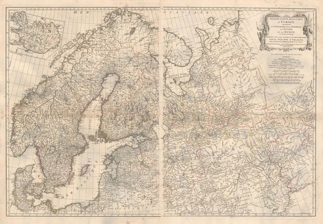
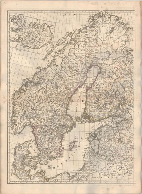
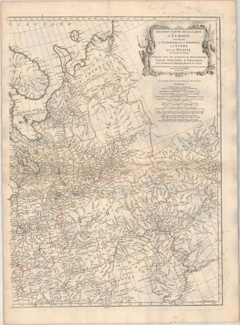
Subject: Northern Europe

Period: 1758 (dated)

Publication:

Color: Hand Color

Size:
20 x 26.8 inches
50.8 x 68.1 cm
Download High Resolution Image
(or just click on image to launch the Zoom viewer)

This finely engraved chart covers the region from Denmark through to the Urals, and all of Scandinavia. It is filled with great detail of the terrain and watershed and names scores of small towns and villages. On the western sheet there is a large inset at upper left shows the island of Iceland. The eastern sheet features a large decorative title cartouche with eight distance scales below. Engraved by Guillaume Delahaye. The measurements shown are for the individual sheets; if joined, the map would measure approximately 40.0 x 26.8".

References:

Condition: B+

Contemporary outline color on sturdy paper with light offsetting and staining along the borders. The first image is a composite image - the map is on two separate sheets.

Estimate: $275 - $350

Sold for: $140

Closed on 4/28/2021

Archived