Subject: Britain
Period: 1833 (published)
Publication:
Color: Black & White
Size:
5.4 x 8.4 inches
13.7 x 21.3 cm
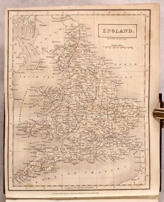
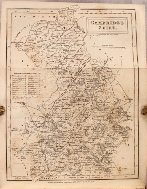
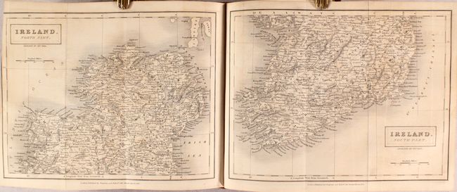
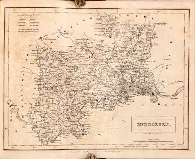
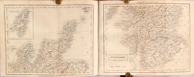
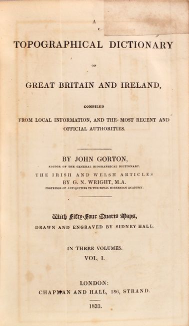
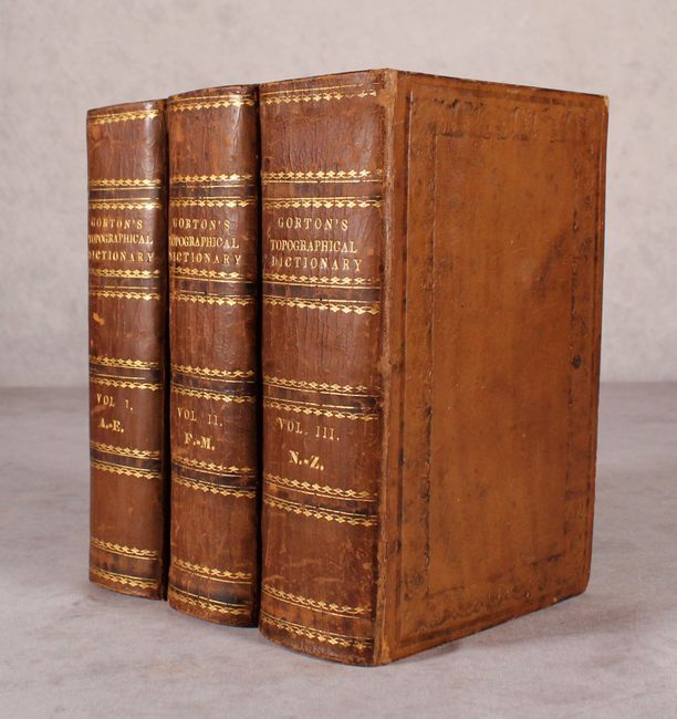
This attractive and complete three-volume set contains a total of 54 folding maps drawn and engraved by Sidney Hall covering all of Great Britain and Ireland. The maps of Ireland, Scotland, Wales, and Yorkshire are all on 2 sheets while the county maps and the map of England & Wales are all single sheets. Also includes 4 plates covering the internal communications within Britain. In addition to the comprehensive topographical dictionary, there are extensive population tables (as of 1831), a list of villages/hamlets with no population data, and an 88-page analysis of the reform acts of England, Ireland, and Scotland. 2,510 total pages across the three volumes. Edited by John Gorton and published by Chapman & Hall in London. Hardbound in full contemporary leather with gilt titles on spines.
References:
Condition: B+
The folding maps are good to mostly very good with light toning and light to moderate offsetting. Text is mostly clean and bright. Covers have light shelf wear with minor abrasions.