Subject: New York City, New York
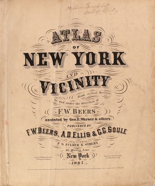
Period: 1867 (published)
Publication:
Color: Hand Color
Size:
15 x 18 inches
38.1 x 45.7 cm
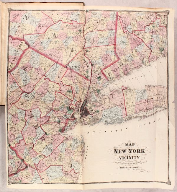
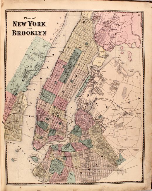
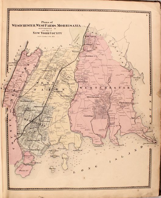
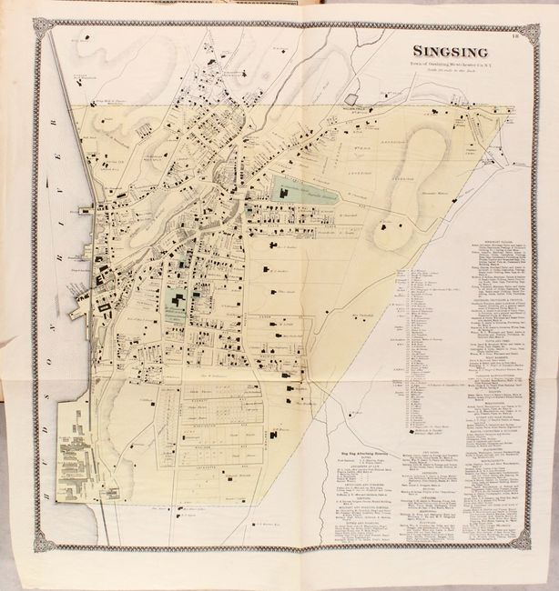
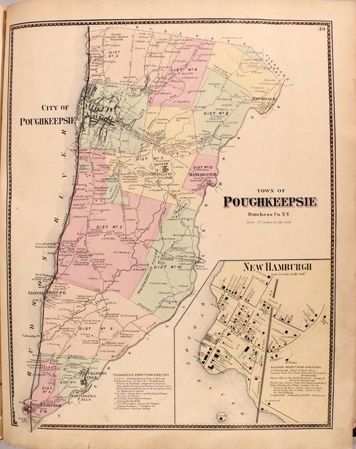
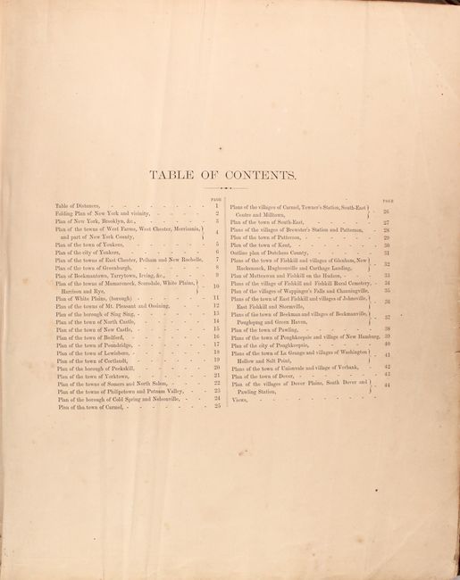
This desirable atlas of the vicinity of New York contains all 33 single-page and 10 large folding maps as called for in the table of contents. Of particular interest is the large folding Map of New York and Vicinity (28 x 30.5") that shows the portion of New York state south of Poughkeepsie and most of Long Island. It also shows half of Connecticut west from New Haven, the northern half of New Jersey including Trenton and a small portion of Pennsylvania. The map presents remarkable detail of towns and villages, roads, railroads, and political boundaries including counties and townships. The cities and larger towns are drawn in street grid pattern and the detail is so good that even Central Park is named. Circles at five mile increments radiate from lower Manhattan. Other maps of interest include Brooklyn, Westchester County, Peekskill, Yonkers, Poughkeepsie, and many more. The atlas is missing the unpaginated views at the end of the volume. Hardbound in quarter green leather over brown cloth boards.
References: cf. Phillips (Atlases) #2290.
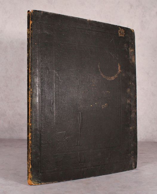
Condition: B
The maps are good to very good with light toning, surface soiling, and occasional scattered foxing. Several of the folding maps have old tape repairs to edge tears including New York City (4.5"), Westchester County (7.5"), Fishkill (6.5") and Yonkers (16"). There is a previous owner's signature at the top of the title page. Binding is moderately worn, slightly bowed, and the edges are bumped.