Subject: Arkansas
Period: 1843-56 (dated)
Publication:
Color: Black & White
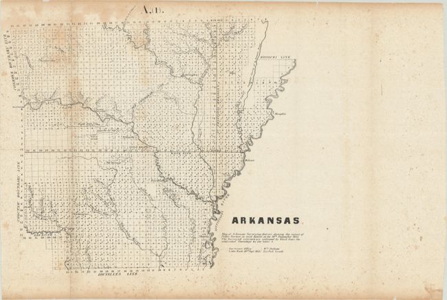
A. Arkansas, dated 1843 (15.1 x 14.3"). Map of Arkansas surveying district showing the extent of the public surveys. Condition: Issued folding with moderate scattered foxing, a tiny split at one of the fold intersections, and marginal chipping. (B)
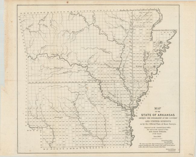
B. Map of the State of Arkansas Showing the Topography of the Country and United Surveys as by the Official Plats of Those Surveys, dated 1848 (15.4 x 14.1"). This map is "compiled from the original township plats of the surveys of the public lands." It divides the state into a grid of plats. Condition: Issued folding with some small spots. (A)
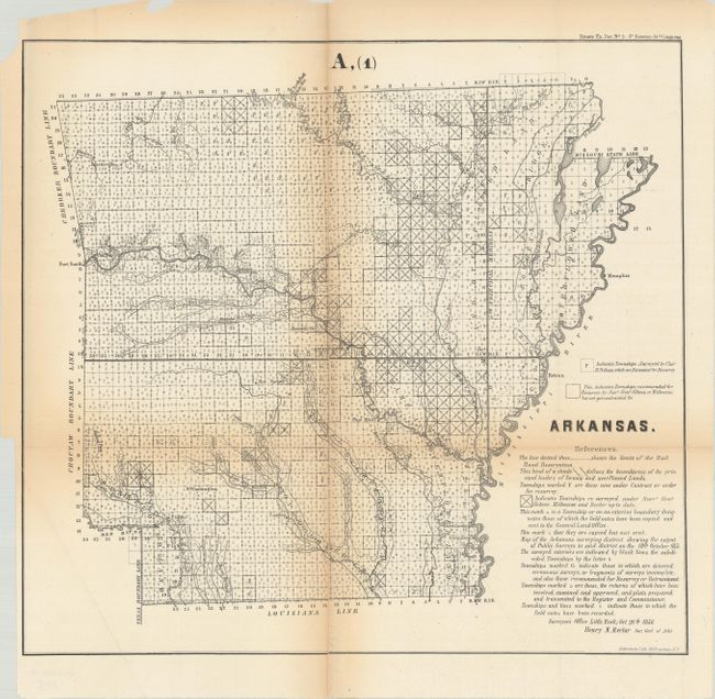
C. Arkansas, dated 1856 (16.8 x 15.5"). The map shows the extent of the surveys, the railroad land grants, and subdivided townships. Condition: Issued folding with light toning along folds. Fold separations, including a vertical one that runs the length of the map, have been closed on verso with archival materials. Binding trim at lower left. (B)
References:
Condition:
See description above.