Subject: Arizona
Period: 1901-51 (dated)
Publication:
Color: Printed Color
A nice group of maps from Rand McNally & Co. showing the development from the territorial period through statehood and into in mid-twentieth century. The maps document the steady growth of the state.
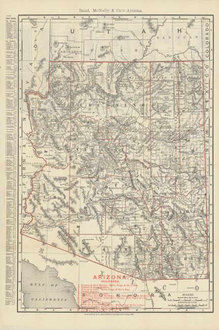
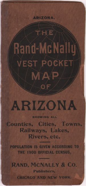
A. Rand McNally & Co.'s Arizona, dated 1901 (12.6 x 19.0"). This is a splendid pocket map that highlights the area served by a number of railroads listed in red, which is keyed to the map. Detached from paper covers. Cover title: The Rand-McNally Vest Pocket Map of Arizona Showing All Counties, Cities, Towns, Railways, Lakes, Rivers, Etc. Condition: Issued folding, now flattened, with a few tiny splits at fold intersections. Wrappers are chipped along the edges, and the partially separated spine is reinforced with tape.
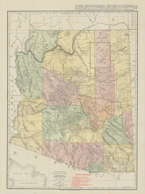
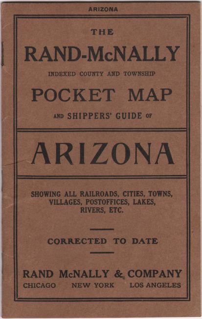
B. The Rand-McNally New Commercial Atlas Map of Arizona, dated 1913 (18.9 x 25.9"). Despite the title, this map was issued as a pocket map. It is a splendid map issued the year following statehood. It is delineated by county with a list of railroads printed in red and colored codes within the map to show the regions served by each railway. Detached from the 20pp shipper's guide, which is included with the lot. Condition: Issued folding, now pressed, with a few spots of foxing at lower right.
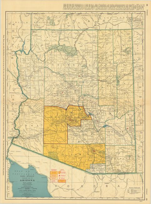
C. Rand McNally Standard Map of Arizona, from Rand McNally’s Commercial Atlas and Marketing Guide, dated 1951 (18.9 x 25.4"). This interesting map is colored to show the populated (and mostly unpopulated) counties, several of which have fewer than 25,000 people. A notation in the margin states “Show your sales, distribution, or service set-up on this map with colored map marking pencils. The picture can be changed when desired by making erasures with artgum. The map surface has been specially treated for this purpose." Condition: Minor toning.
References:
Condition: A
See description above.