Catalog Archive
Auction 182, Lot 207
"Map Showing Indian Reservations in the United States West of the 84th Meridian and Number of Indians Belonging Thereto 1882", U.S. Bureau of Indian Affairs
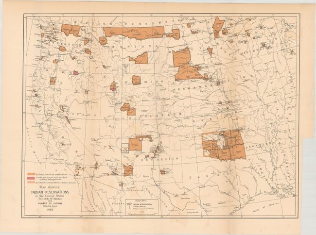
Subject: Western United States
Period: 1882 (published)
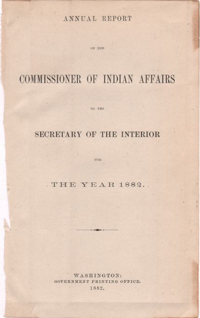
Publication: Annual Report of the Commissioner of Indian Affairs...
Color: Printed Color
Size:
17.6 x 13.1 inches
44.7 x 33.3 cm
Download High Resolution Image
(or just click on image to launch the Zoom viewer)
(or just click on image to launch the Zoom viewer)