Subject: North America
Period: 1788 (dated)
Publication: Allgemeiner Grosser Atlas
Color: Hand Color
Size:
22.7 x 19.8 inches
57.7 x 50.3 cm
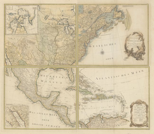
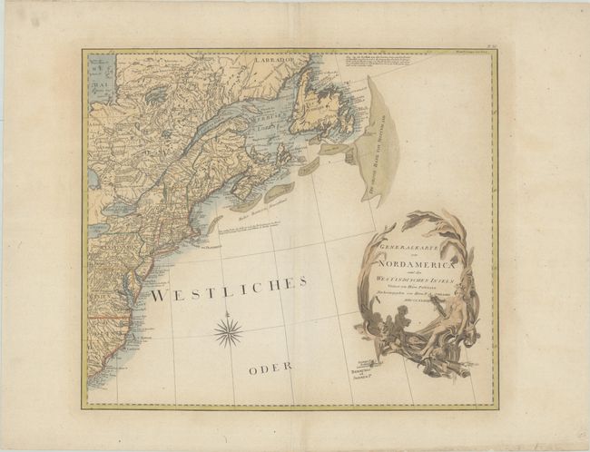
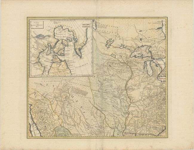
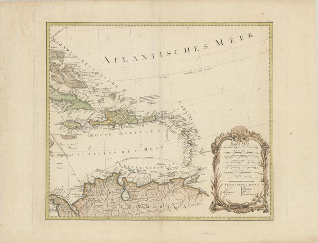
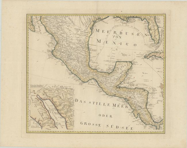
This large-scale map of North America includes excellent detail of towns, political boundaries, roads, rivers, mines, Indian villages, and tribal territories. The map is a German-language edition of Emmanuel Bowen and John Gibson's An Accurate Map of North America Describing and Distinguishing the British, Spanish and French Dominions on this Great Continent…, which was first published in 1763 to illustrate the seat of the French and Indian War. Hundreds of settlements and Indian villages are located, with interesting notations referring to native tribes and historical events. A number of roads are shown on the map stretching all the way to New Mexico and Neu Navarra. There are two interesting inset maps. One shows the discoveries of Father Eusebius Kino in the Southwest that proved that California was not an island. The other illustrates the ongoing search for a Northwest Passage, showing Baffin and Hudson Bays with the fictional Lake de Fonte (See de Fonte) reaching nearly to Baffin Bay. The title cartouche also credits Thomas Pownall's map of the Middle British Colonies, updated from Lewis Evans' map, with valuable geographic knowledge of the Ohio River Valley. The routes of the Spanish treasure galleons are shown throughout the Caribbean and Gulf of Mexico. The map is adorned with a rococo cartouche containing distance scales and a legend, and a decorative title cartouche featuring a female figure representing America and two cherubs. Engraved by Johann Stenger. Printed on four sheets; size varies slightly.
References: McCorkle #788.6; Phillips (A) #694.
Condition: B+
Nice impressions on watermarked paper with light scattered foxing that is mostly in the blank margins. There is some faint toning limited to the area around the title cartouche. The first image is a composite image - the map is in 4 separate sheets.