Catalog Archive
Auction 181, Lot 769

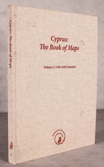
"Cyprus: The Books of Maps - Annotated Catalogue of the Printed Maps of Cyprus Volume I: 15th-16th Centuries", Baynton-Williams, Ashley

Subject: References, Cyprus

Period: 2016 (published)

Publication:

Color: Printed Color

Size:
9.9 x 13.4 inches
25.1 x 34 cm
Download High Resolution Image
(or just click on image to launch the Zoom viewer)

This is an annotated catalogue of printed maps of Cyprus from the 15th to 16th centuries, compiled by Ashley Baynton-Williams and edited by Artemis Scutari. The book begins with a brief history of Cyprus and then details 44 maps of Cyprus, listed chronologically. Each map listing fully describes the map, its author, its publication, known facsimiles, and details of all states and editions of the map. An excellent reference work. Numerous illustrations, many in color. 167 pp. Hardbound in tan cloth covers with title printed in red on front cover and spine.

References:

Condition: B+

The interior is very clean and bright. The covers have a few small stains.

Estimate: $150 - $180

Sold for: $110

Closed on 2/10/2021

Archived