Catalog Archive
Auction 181, Lot 690

NO RESERVE

"Carte de la Haute et de la Basse Guinee, Depuis la Riviere de Sierra Leona, Jusqu'au Cap Negro", Bonne, Rigobert

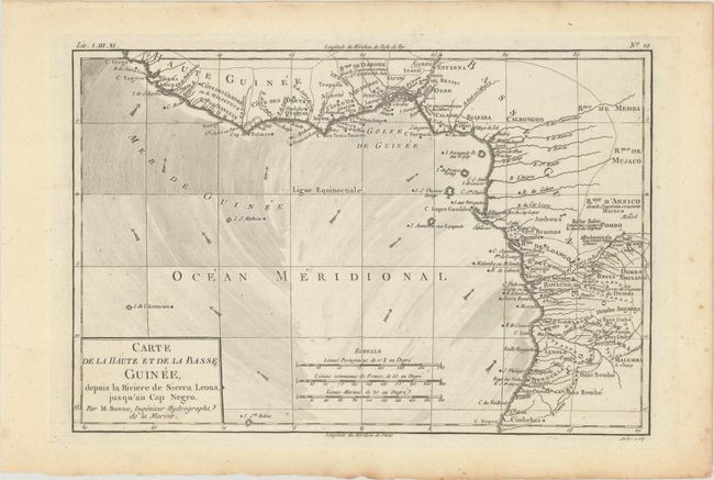
Subject: Western Africa

Period: 1780 (circa)

Publication:

Color: Black & White

Size:
12.6 x 8.4 inches
32 x 21.3 cm
Download High Resolution Image
(or just click on image to launch the Zoom viewer)

This nicely engraved map shows all of the Guinea coast and the kingdoms to its south, stretching from Cape Verga to Cape Negro in present-day Angola. The map locates many towns and villages, rivers, and coastal features. It extends to include Saint Helena and Ascension Island, the small volcanic islands discovered by Portugeuse explorers in the early 16th century. Arrows in the ocean indicate the directions of the currents. Engraved by Andre.

References:

Condition: A

A nice impression on watermarked paper with marginal foxing and toning.

Estimate: $80 - $110

Sold for: $12

Closed on 2/10/2021

Archived