Catalog Archive
Auction 181, Lot 655
NO RESERVE
"Neueste Karte von Vorder Indien oder Hindostan nach den Bessten Quellen Entworfen und Gezeichnet", Radefeld, Carl Christian Franz
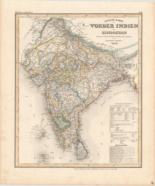
Subject: India & Sri Lanka
Period: 1844 (dated)
Publication: Meyer's Hand-Atlas
Color: Hand Color
Size:
11.7 x 14.1 inches
29.7 x 35.8 cm
Download High Resolution Image
(or just click on image to launch the Zoom viewer)
(or just click on image to launch the Zoom viewer)