Catalog Archive
Auction 181, Lot 463

"Alsatia Inferior", Mercator/Hondius

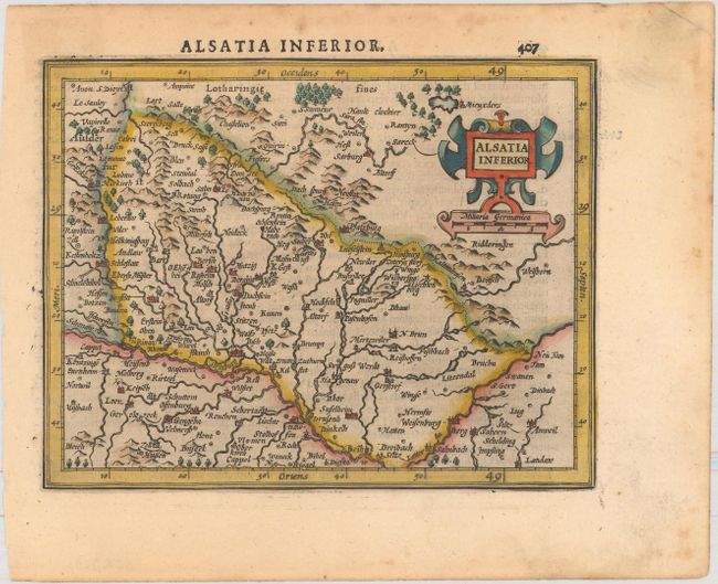
Subject: Northeastern France

Period: 1610 (circa)

Publication: Atlas Minor

Color: Hand Color

Size:
6.8 x 5.3 inches
17.3 x 13.5 cm
Download High Resolution Image
(or just click on image to launch the Zoom viewer)

A charming map of the Alsace region with north oriented to the right. The Rhine River is shown along the eastern edge of the map (bottom) extending from Setz to Strasbourg and beyond. Embellished with a strapwork title cartouche and distance scale. Latin text on verso,

References: Van der Krogt (Vol. III) #2521:351.

Condition: A

A nice impression with minor foxing in the margins and remnants of hinge tape on verso.

Estimate: $80 - $100

Sold for: $60

Closed on 2/10/2021

Archived