Catalog Archive
Auction 181, Lot 32

"Orbis Terrarum Veteribus Cogniti Typus ad Mentem Veterum Geographorum", Weigel, Christopher

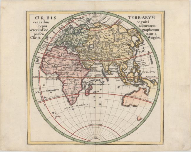
Subject: Eastern Hemisphere

Period: 1720 (circa)

Publication:

Color: Hand Color

Size:
13.3 x 13 inches
33.8 x 33 cm
Download High Resolution Image
(or just click on image to launch the Zoom viewer)

An attractive map of the Eastern Hemisphere with the Prime Meridian running through the Canary Islands, the furthest western point according to Ptolemy. The map identifies ancient regions and cities throughout Europe, Asia and Africa, but the overall cartography is up-to-date. Japan is joined with a large island labeled Terra Incognita, and Australia is beginning to take shape with Tasman's discoveries in the region.

References:

Condition: A

A crisp impression on a clean sheet with short centerfold separations at top and bottom that have been archivally repaired on verso.

Estimate: $325 - $400

Sold for: $325

Closed on 2/10/2021

Archived