Subject: Tennessee
Period: 1856 (published)
Publication:
Color: Black & White
Size:
38.5 x 21.2 inches
97.8 x 53.8 cm
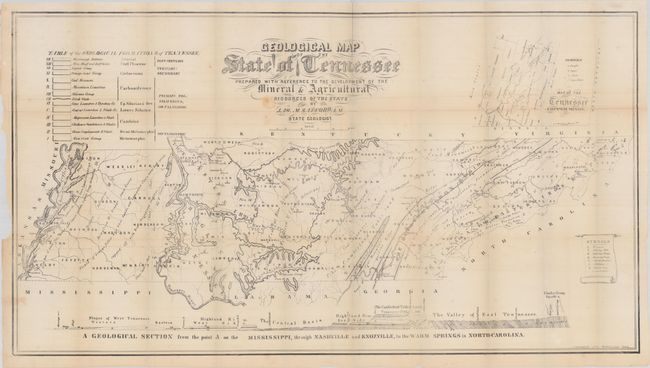
This impressive map was prepared by Jason Safford, State Geologist. It is the second, much improved geological map of Tennessee after Troost’s smaller sketch map published in 1840. This map should not to be confused with Safford’s more commonly seen 1869 edition. The map identifies 14 different geologic types including Mississippi bottoms, coal, limestone, slate, and more. An inset at top right also depicts the copper veins and mines in the far southeastern portion of the state bordering Georgia and North Carolina. A legend at lower right further identifies furnaces, rolling mills, forges, and more. At bottom is a geological section spanning the state.
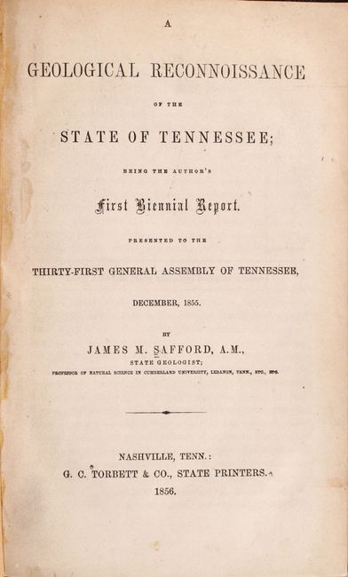
The map is accompanied by the 164 page A Geological Reconnoissance of the State of Tennessee. First edition. Printed by G.C. Torbett & Co. in Nashville. Octavo, rebound in modern black cloth with title label on spine.
References: Marcou & Marcou #558.
Condition: B+
Issued folding on thin banknote-style paper with a few minor fold separations, a small stain below the title, and faint offsetting. There is an old tape repair to a small edge tear along the lower left border with some minor show-through on recto. Text is mostly clean and tight with a former owner's bookplate on the front pastedown. Modern binding has light wear.