Catalog Archive
Auction 181, Lot 277

"The State of South Carolina from the Best Authorities", Payne, John

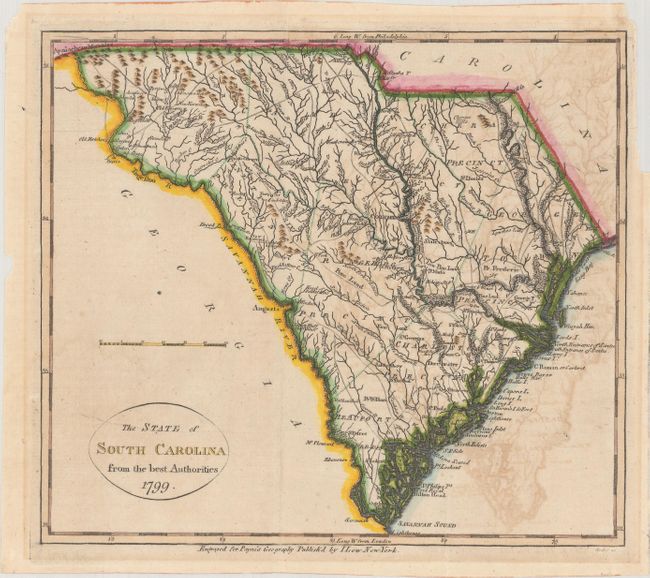
Subject: South Carolina

Period: 1799 (dated)

Publication: A New and Complete Universal Geography

Color: Hand Color

Size:
8.4 x 7.3 inches
21.3 x 18.5 cm
Download High Resolution Image
(or just click on image to launch the Zoom viewer)

This early map of the state is finely engraved and full of detail including watershed, towns, wagon roads, and mountains. It was copied and reduced from either Tanner's version in 1796 or Lewis' version in 1795. All three use an exaggerated latitude making the state appear longer north and south. Engraved by Scoles.

References: Wheat & Brun #608.

Condition: B+

Issued folding with light offsetting at right.

Estimate: $190 - $220

Sold for: $140

Closed on 2/10/2021

Archived