Subject: References, Cyprus
Period: 1980 (published)
Publication:
Color: Printed Color
Size:
9.8 x 13.4 inches
24.9 x 34 cm
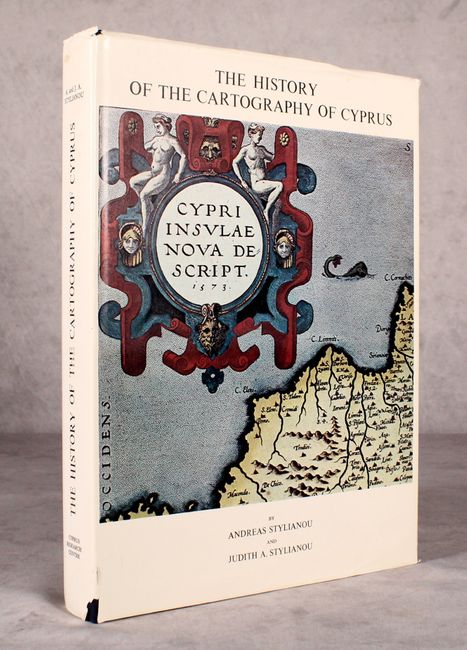
This fine reference on the mapping of Cyprus is by Andreas and Judith A. Stylianou, experts on Byzantine art in Cyprus as well as the islands cartography. It covers the cartography of the island from Ptolemy to the modern age. There are more than 200 illustrations, a few in beautiful full color, and two fold-out maps, including a full-size facsimile of Ortelius' map of Cyprus. Includes a prefatory note by Theodore Papadopoullos, a preface by Dr. Helen Wallis, an index of mapmakers, bibliography, and more. 449 pages. Hardbound in dark blue cloth with an illustrated dust jacket.
References:
Condition: A
Contents and covers are near fine with some short tears and minor soiling on the dust jacket.