Subject: Geography Books
Period: 1809 (published)
Publication:
Color: Black & White
Size:
4 x 6.9 inches
10.2 x 17.5 cm
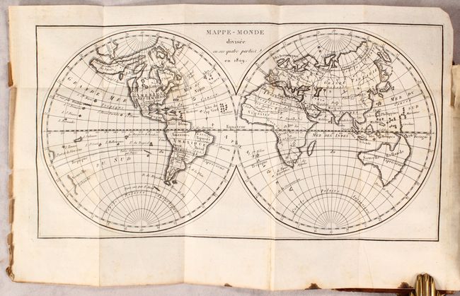
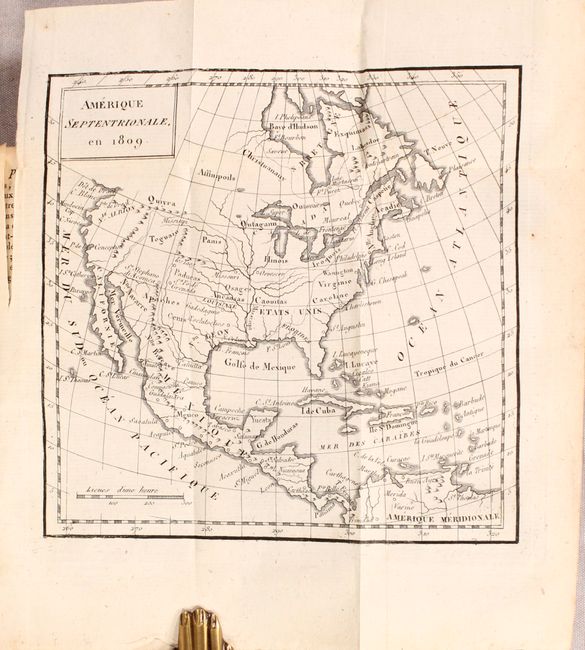
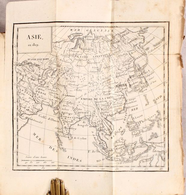
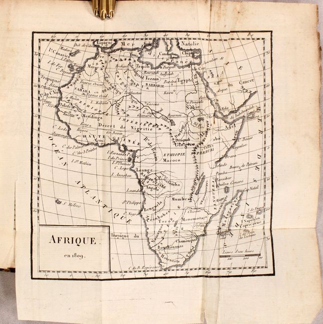
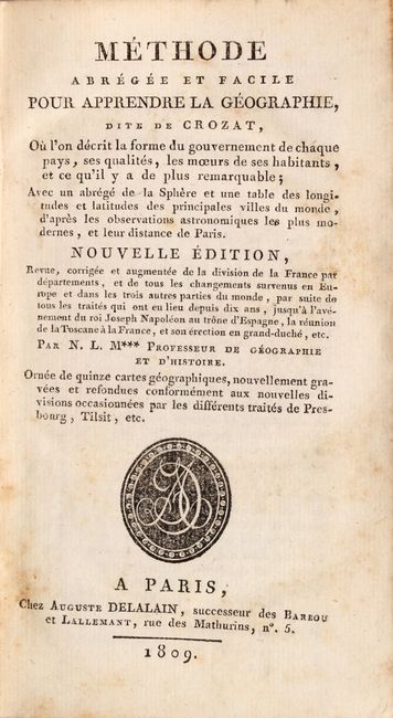
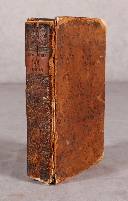
This French geography book was created by "N.L.M***,"who chose to remain anonymous, and printed by Auguste Delalain in Paris. The volume contains 16 small folding maps (most around 6 x 6") including the world, Europe, Asia, Africa, North America, South America, and 11 regional maps of Europe (including two of France). The world map (12 x 6.5") shows some outdated cartography in North America with a Northwest Passage above Hudson Bay and a series of islands taking up the Northwest. The map shows no Great Lakes and Australia is still connected to both Tasmania and New Guinea. 511 pages, title page, preface, advertisement, table of contents, and 16 maps. Hardbound in contemporary leather with title label on spine.
References:
Condition: B+
Condition code is for the folding maps which are mostly very good with occasional foxing, soiling, and small chips confined to the side margins. The map of Africa has a 1.5" tear in the image. Text has scattered foxing. Hinges are starting, covers are scuffed and worn, and the spine has a few cracks at top.