Subject: Atlases
Period: 1898 (published)
Publication:
Color: Printed Color
Size:
16.4 x 21.2 inches
41.7 x 53.8 cm
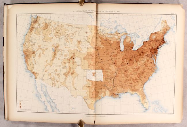
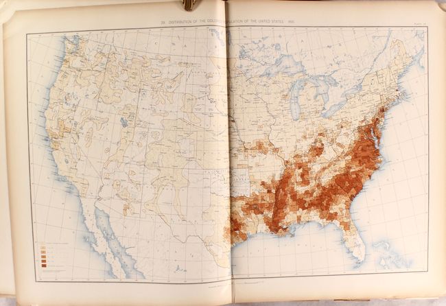
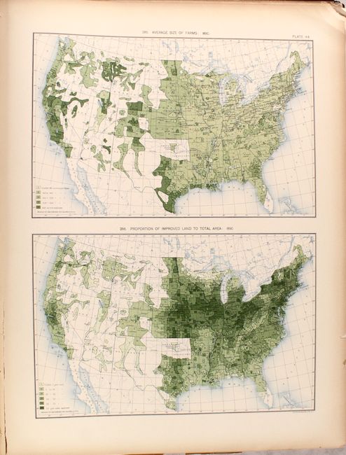
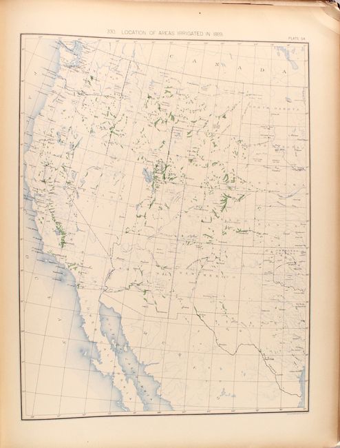
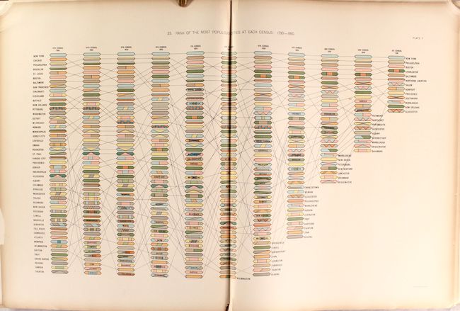
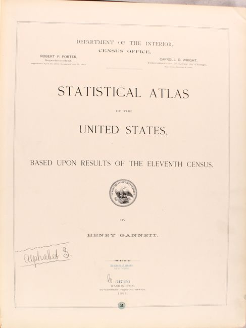
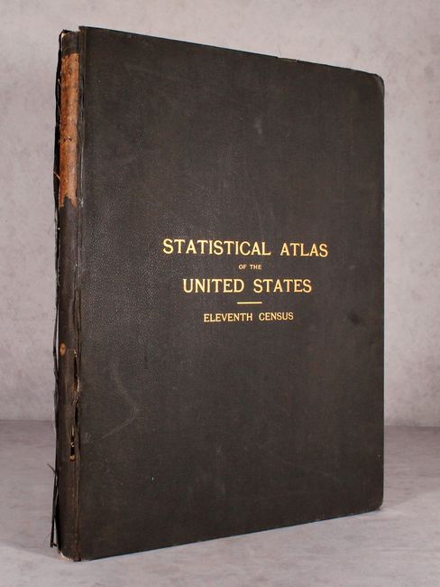
This large, important atlas is complete with 63 plates consisting of numerous thematic maps, graphs, and tables that describe population, migration, agriculture, industry, wealth, and much more. A few maps of particular interest are population maps entitled Distribution of the Colored Population of the United States which shows a strong minority concentration in the southern states, and Proportion of the Foreign-Born to the Aggregate Population which shows high representation in the northern and western states. Also noteworthy are the maps that show the population density for each decennial census from 1790 to 1880. Schwartz & Ehrenberg commended an earlier edition of this atlas saying it was a "pioneering work [and] was the first atlas of analytical maps that showed the patterns of associations and it greatly influenced the development of thematic mapping in the Untied States." Compiled by Henry Gannett. Large folio, bound in brown cloth with gilt title on front cover.
References: cf. Schwartz & Ehrenberg p. 303.
Condition: B
The maps are good to very good with light toning along the sheet edges and a small chip to the top right corner of most sheets. The railroad map of the United States has split in half along the centerfold. There is a small library stamp on the title page and one text page. Back cover has detached and the front cover is nearly detached. Average wear to boards, bumped edges, and a few chips to the spine.