Subject: Atlases
Period: 1881 (published)
Publication:
Color: Hand Color
Size:
13 x 15.8 inches
33 x 40.1 cm
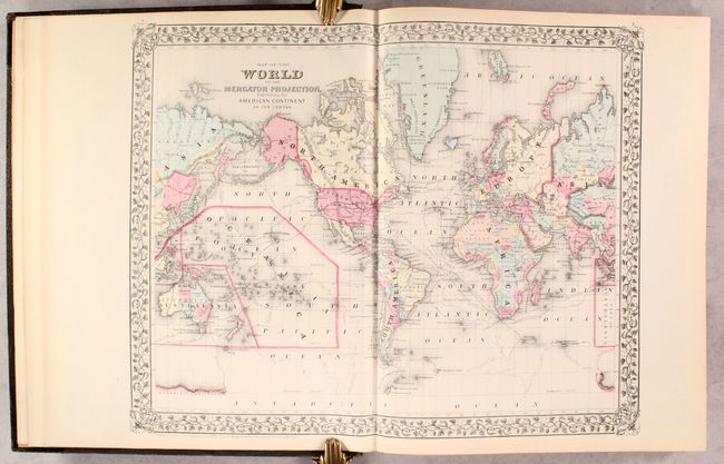
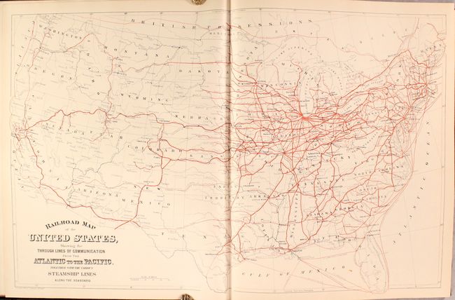
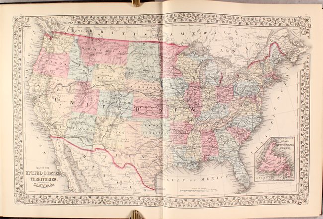
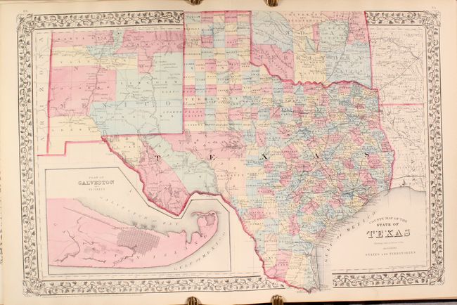
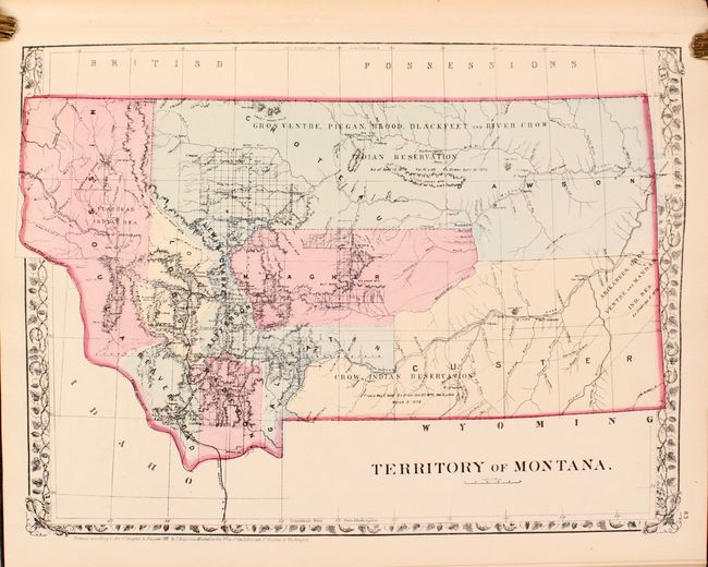
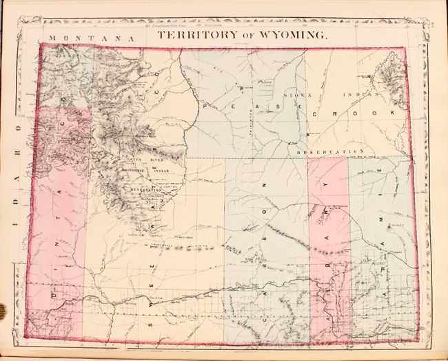
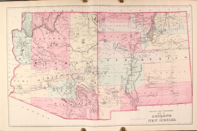
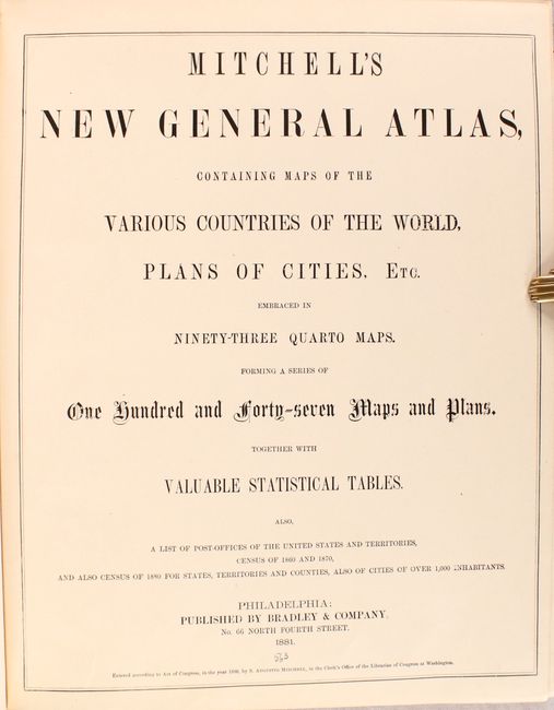
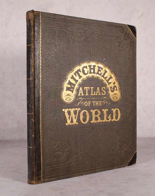
This is a gorgeous and complete example which contains 46 single-page maps and 27 double-page maps, with over 50 relating to the United States with individual states, territories, regions and city plans. The atlas includes a number of individual territory maps not usually seen including separate maps of Montana, Wyoming, Idaho, and Dakota territories. Other maps of interest include County and Township Map of Utah and Nevada, County and Township Map of Arizona and New Mexico, and County and Township Map of Oregon and Washington. Also features double-page maps of Florida, Texas, California, and a Railroad Map of the United States. Hardbound in original brown cloth with quarter calf spine and tips with gilt title on the front cover. Small folio atlas published in Philadelphia by Bradley & Company.
References:
Condition: A+
Condition code is for the maps, which are remarkably clean, bright and flawless. Bookplate of the New York State Historical Society is located on the front pastedown. Covers have typical light wear and bumped edges.