Catalog Archive
Auction 180, Lot 75

"L'Amerique Septentrionale, Suivant les Nouvelles Observations de Messrs. de l'Academie Royale des Sciences, Etc. Augmentees de Nouveau", Covens & Mortier

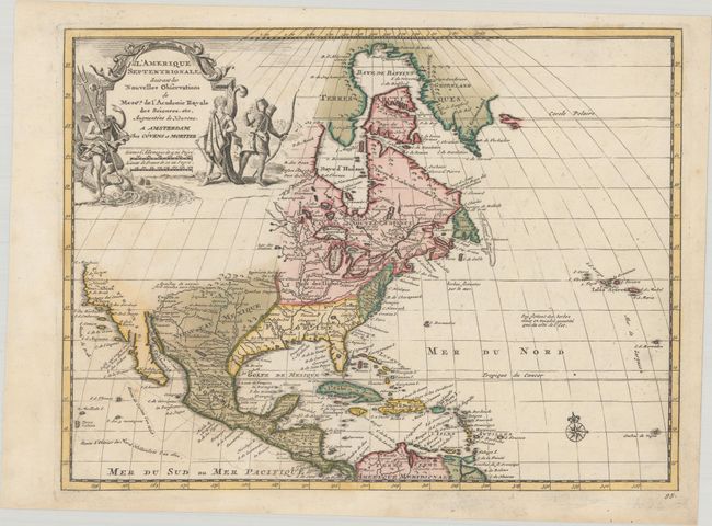
Subject: Colonial North America

Period: 1735 (circa)

Publication:

Color: Hand Color

Size:
11.6 x 8.7 inches
29.5 x 22.1 cm
Download High Resolution Image
(or just click on image to launch the Zoom viewer)

This delicately engraved map of North America and the West Indies is based on Delisle's important map of 1700. It depicts an interesting version of California that is ambiguous about whether it is an island or not, as the Gulf of California is left open ended. The Pacific Northwest is left blank, with nothing shown north of Cape Mendocino. Neptune and two Native Americans flank the large title cartouche. The routes of the explorers Cortez, Drake and Olivier are shown in the Pacific. This map was originally published by Pieter van der Aa.

References:

Condition: A

Full contemporary color on a bright sheet with a large coat of arms watermark and a faint dampstain at left.

Estimate: $500 - $650

Sold for: $400

Closed on 11/18/2020

Archived