Catalog Archive
Auction 180, Lot 672

"Carte des Isles Kouriles d'Apres la Carte Russe. Dressee et Gravee par Laurent", Bellin, Jacques Nicolas

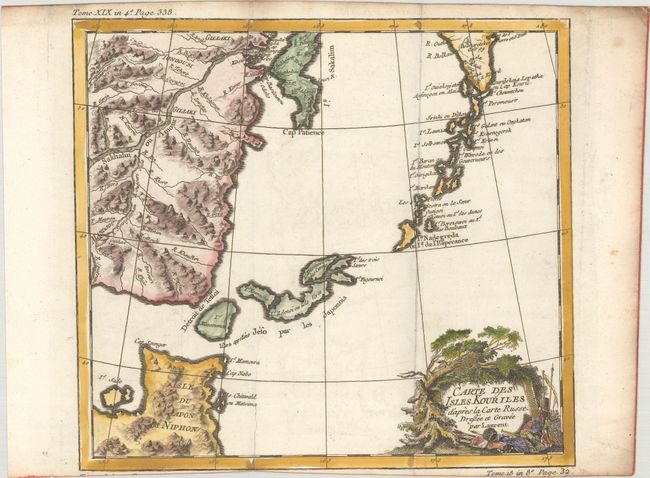
Subject: Kurile Islands & Japan

Period: 1780 (circa)

Publication: Abrege de l'Histoire Generale des Voyages

Color: Hand Color

Size:
10.4 x 9.4 inches
26.4 x 23.9 cm
Download High Resolution Image
(or just click on image to launch the Zoom viewer)

Attractive map of the Kuriles, a chain of volcanic islands belonging to Russia and extending from Kamchatka (Russia) to Hokkaido (Japan) in the northern Pacific, that shows many harbors and small offshore islands. The map includes numerous inaccuracies and fanciful names for a number of the islands including Is. Tsitronnoi ou des Citrons (Island of Lemons) and Is. des Trois Soeurs (Islands of the Three Sisters). A decorative title cartouche in the French style with a cache of weapons adorns the map. Engraved by Laurent.

References:

Condition: A

A dark impression on a bright sheet of watermarked paper, issued folding with minor offsetting and soiling along the edges of the sheet. Trimmed close to neatline at bottom by bookbinder.

Estimate: $90 - $110

Sold for: $70

Closed on 11/18/2020

Archived