Subject: Persia - Iran
Period: 1801-25 (circa)
Publication:
Color: Hand Color
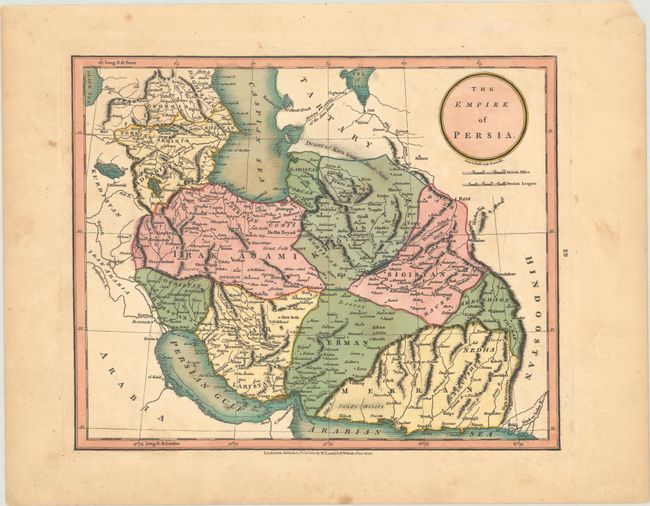
A. The Empire of Persia, by Laurie & Whittle, from A New and Elegant Atlas..., dated 1801 (9.8 x 7.9"). This handsome map of the region appeared in a British school atlas published by Laurie and Whittle. Persia is divided into its historic regions. There are plenty of place names and some nice topographical detail. A dotted line between the Caspian and Aral seas indicates the "Ancient course of the Amu Daria." The title is enclosed in a simple circular cartouche with two distance scales (British Miles and Persian Leagues) below. Engraved by E. Jones and C. Smith. Condition: Contemporary color on a watermarked sheet with light scattered foxing and light toning that is mostly confined to the margins. (B+)
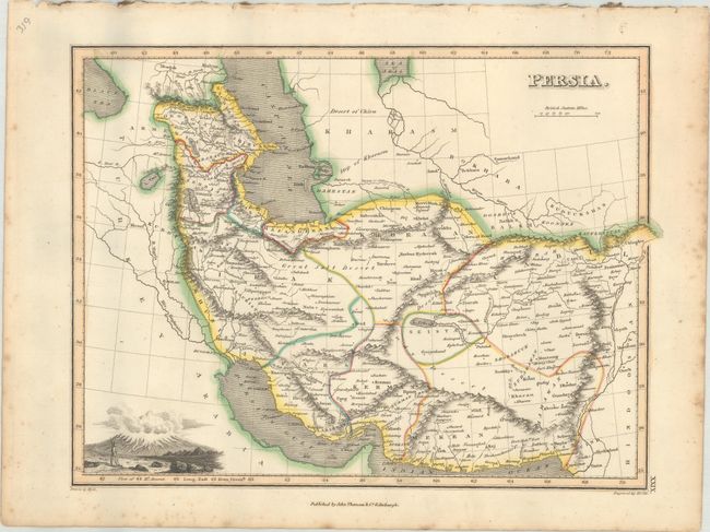
B. Persia, by John Thomson & Co., from A General Atlas Containing Maps Illustrating Some Important Periods in Ancient History..., circa 1825 (11.9 x 8.9"). This nicely detailed map of Persia and its surroundings includes place names, political divisions, and topographical detail. A view of Mount Ararat adorns the bottom left corner. Drawn by James Wyld, engraved by N. R. Hewitt, and published in Edinburgh by John Thomson & Co. Condition: Contemporary outline color with marginal foxing. (A)
References:
Condition:
See description above.