Catalog Archive
Auction 180, Lot 655

"A New Map of the Empire of Persia from Monsr. d Anville First Geographer to the Most Christian King; with Several Additions and Emendations", Laurie & Whittle

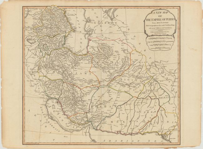
Subject: Persia - Iran

Period: 1794 (dated)

Publication: A New Universal Atlas...

Color: Hand Color

Size:
22.6 x 20.1 inches
57.4 x 51.1 cm
Download High Resolution Image
(or just click on image to launch the Zoom viewer)

This lovely English version of d'Anville's superb map of the Persian Empire was published by Laurie and Whittle. An area covering roughly the location of modern Iran is shown, divided into smaller provinces. Cities and towns are marked, as well as major roads and geographical features. A simple title cartouche incorporates the four distance scales.

References:

Condition: B+

Contemporary outline color on paper with an "1803" watermark, light offsetting, and archival repairs to centerfold separations at top and bottom and an edge tear that enters 0.5" into map image at bottom. There is toning and small chips and tears confined to the blank margins.

Estimate: $240 - $300

Sold for: $120

Closed on 11/18/2020

Archived