Catalog Archive
Auction 180, Lot 539

"Regni Poloniae Magnique Ducatus Lithuaniae Nova et Exacta Tabula...", Homann, Johann Baptist

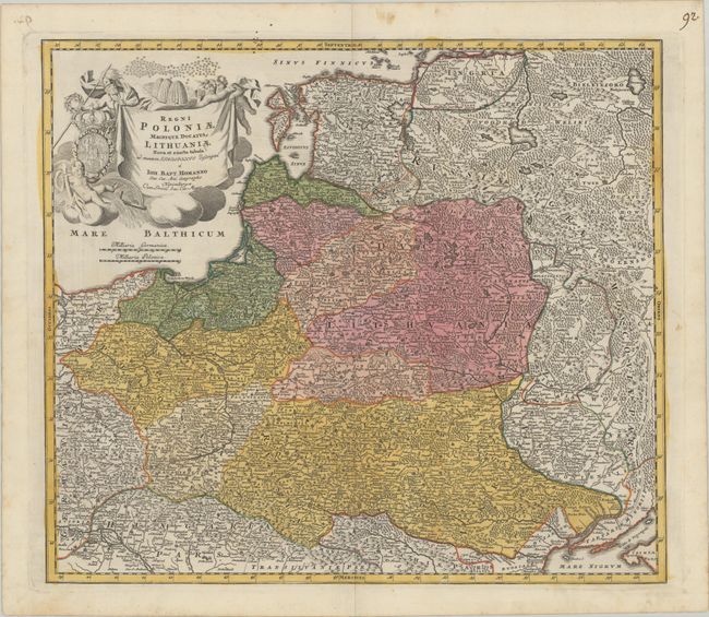
Subject: Northeastern Europe

Period: 1716 (circa)

Publication:

Color: Hand Color

Size:
21.8 x 19.1 inches
55.4 x 48.5 cm
Download High Resolution Image
(or just click on image to launch the Zoom viewer)

Homann's striking map covers Poland, Lithuania, Latvia, Estonia, and a portion of Russia, extending from St. Petersburg in the north to the Black Sea in the south. The map includes a lot of topographic detail and as well as the cities of Kiev, Minsk, Warsaw, and Vienna. A gorgeous allegorical cartouche fills the Baltic Sea and features Ares, god of war, holding both a spear and a laurel wreath; the Polish-Lithuanian coat of arms under Wettin dynasty; and beehives symbolizing industry.

References:

Condition: A

A nice impression on a bright watermarked sheet with a pair of small wormholes at center only visible when held to light.

Estimate: $550 - $700

Sold for: $400

Closed on 11/18/2020

Archived