Catalog Archive
Auction 180, Lot 512
"Carte de la Prusse Occidentale ou sont Tracees les Provinces Cedees par la Pologne au Roi de Prusse...", Santini, P.
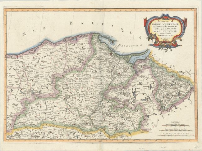
Subject: Northern Poland
Period: 1776 (dated)
Publication: Atlas Universel...
Color: Hand Color
Size:
25.6 x 17.8 inches
65 x 45.2 cm
Download High Resolution Image
(or just click on image to launch the Zoom viewer)
(or just click on image to launch the Zoom viewer)