Catalog Archive
Auction 180, Lot 433

"Suecia et Norvegia cum Confinijs", Mercator/Hondius

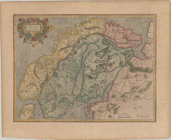
Subject: Scandinavia

Period: 1619 (published)

Publication: Gerardi Mercatoris - Atlas sive Cosmographicae

Color: Hand Color

Size:
18.9 x 14.3 inches
48 x 36.3 cm
Download High Resolution Image
(or just click on image to launch the Zoom viewer)

This fine map of Norway, Sweden, and Finland depicts rivers and mountains and names numerous cities. It is based on Mercator's fifteen-sheet map of Europe dated 1554, which was revised in 1572. Mercator's map became the standard model of Scandinavia for most subsequent maps of the area. The map is adorned with a handsome strapwork cartouche and a stippled sea. French text on verso.

References: Ginsberg #34.0; Van der Krogt (Vol. I) #1210:1A.

Condition: B+

Light toning with minor foxing on paper with a small coat of arms watermark. There is an archivally repaired centerfold separation at bottom.

Estimate: $350 - $425

Sold for: $250

Closed on 11/18/2020

Archived