Catalog Archive
Auction 180, Lot 422

"Geological Map of England & Wales Reduced Chiefly from the Ordnance and Geological Surveys", Geikie, Archibald [Sir]

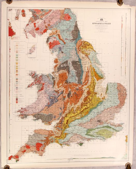
Subject: England & Wales

Period: 1897 (circa)

Publication:

Color: Printed Color

Size:
32.8 x 39.4 inches
83.3 x 100.1 cm
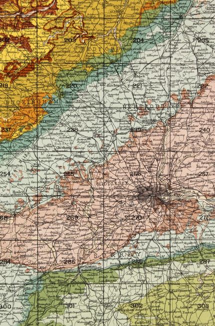
Download High Resolution Image
(or just click on image to launch the Zoom viewer)

This superb, large-scale thematic map covers England and Wales. It is vibrantly colored to illustrate nearly 50 different geological types. The map provides exceptional detail of the roads, canals, and railways that made up the transportation system. In addition, there are four profile maps along the sides and bottom showing the geology for specific locales. Published by John Bartholomew & Co.

References:

Condition: A

A bright example with marginal soiling and a chip at top right, not affecting the image.

Estimate: $200 - $230

Sold for: $140

Closed on 11/18/2020

Archived