Catalog Archive
Auction 180, Lot 420

"L'Angleterre", Mercator/Cloppenburgh

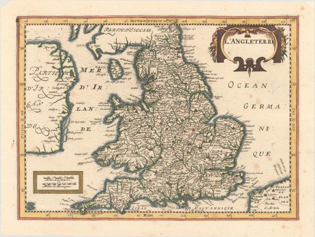
Subject: England & Wales

Period: 1734 (published)

Publication: Atlas Portatif

Color: Hand Color

Size:
10.1 x 7.3 inches
25.7 x 18.5 cm
Download High Resolution Image
(or just click on image to launch the Zoom viewer)

This handsome map of England and Wales extends to show the Isle of Man and the eastern coast of Ireland, including Dublyn. Counties are delineated, and plenty of towns and cities are identified. A cartouche at bottom left encloses two distance scales. The title is featured in a decorative cartouche at top right. Blank verso. Published by Henri du Sauzet.

References: Shirley (BL Atlases) T.SAUZ-1a; Van der Krogt (Vol. III) #5100:353.2.

Condition: B+

There is light scattered foxing.

Estimate: $80 - $100

Unsold

Closed on 11/18/2020

Archived