Subject: London, England
Period: 1889 (circa)
Publication:
Color: Printed Color
Size:
29.3 x 18.5 inches
74.4 x 47 cm
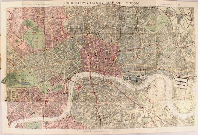
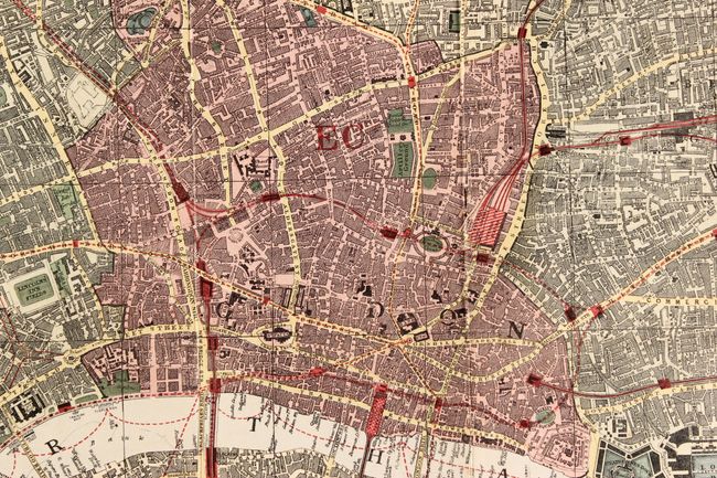
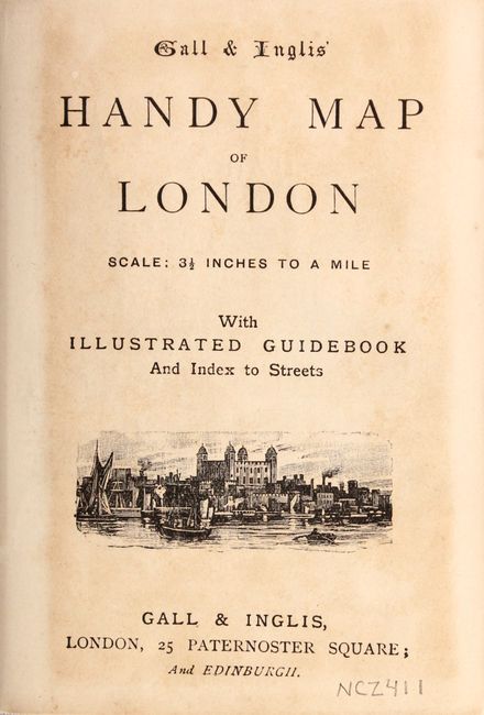
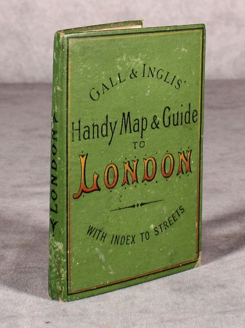
This detailed folding map, intended for the tourist, extends from Hyde Park to Isle of Dog, and from Victory Park to Battersea Park. It is densely packed with information including buildings, parks, roads, docks, railways, the Underground, and more. Tower Bridge, which began construction in 1886 and was completed in 1894 is shown on the map but appears unfinished. Included with the map is a booklet listing museums, parks, theaters, post offices, and other important buildings in the city, as well as vignettes of Crystal Palace, St. Paul's Cathedral, Westminster Abbey and the House of Parliament. Dissected and backed with original linen and folds into stiff green boards with paper title label on the front cover.
References:
Condition: B+
A bright example with a few spots of foxing and light toning at left where the map was glued into the boards. The title page of the booklet is also toned. The covers are lightly worn.