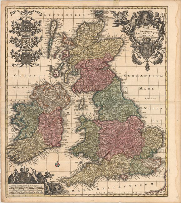
Subject: Britain
Period: 1735 (circa)
Publication: Atlas Novus
Color: Hand Color
Size:
19.3 x 22.8 inches
49 x 57.9 cm
This large and decorative map of the British Isles first appeared in Seutter's Atlas Geographicus in 1720, and is here shown in the third state with the privilege "Cum Gratia et Privil S.R.I. Vicariatus, in partibus Rheni, Svevice, et Juris Franconici" along the bottom border. The title cartouche at top right features a portrait of George I surrounded by allegorical figures, and is balanced at top left with the shields of England, Scotland, and Ireland. An additional illustration at lower left containing four distance scales depicts the Stuart coat of arms.
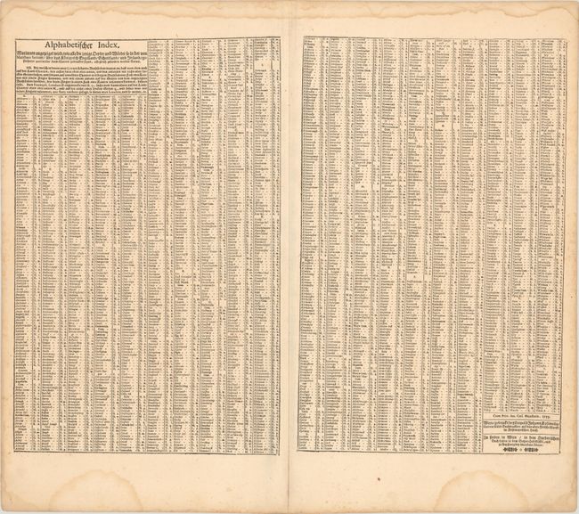
An additional index sheet accompanies this map.
References: Shirley (BI to 1750) Seutter #1.
Condition: B+
Contemporary color with short fold separations at left and right that have been closed on verso with archival materials. There are a few minor spots in the image, a bit of creasing around the fold, and a dampstain confined to the right blank margin.