Catalog Archive
Auction 180, Lot 378

"Chili Provincia Amplissima", Wytfliet, Cornelis
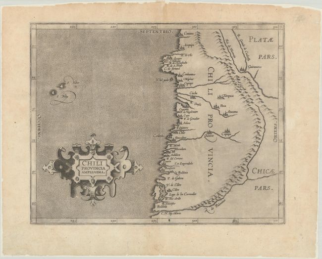
Subject: Chile

Period: 1597 (circa)

Publication:

Color: Black & White

Size:
11.4 x 9 inches
29 x 22.9 cm
Download High Resolution Image
(or just click on image to launch the Zoom viewer)

This important early map covers Chile from Valdivia to Camana. The map details rivers, mountains, and numerous cities and villages west of the Andes. It is simply adorned with a strapwork cartouche in a stipple engraved sea. This was published in either Wytfliet's Descriptionis Ptolemaicae Augmentum or Histoire Universelle des Indes Occidentales et Orientales…

References: cf. Mickwitz & Miekkavaara #307-3.

Condition: A

On a watermarked sheet that has been backed in archival tissue. There is a faint dampstain that just crosses the neatline at bottom left and a tiny rust spot.

Estimate: $350 - $425

Sold for: $350

Closed on 11/18/2020

Archived