Subject: Virgin Islands
Period: 1818 (circa)
Publication: A New Atlas of the West-Indian islands
Color: Hand Color
Size:
8.7 x 6.8 inches
22.1 x 17.3 cm
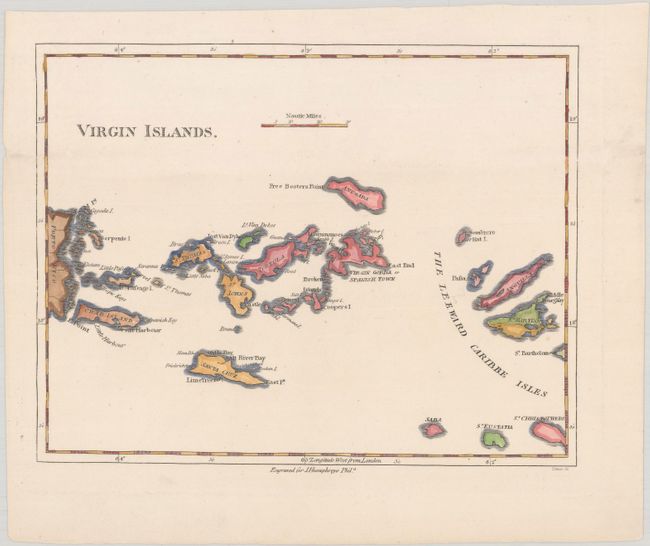
This small map of the Virgin Islands is a later edition of Bryan Edwards' map that he created for his 1793 publication describing the West Indies, The History, Civil and Commercial, of the British Colonies in the West Indies.. The map covers the area between Puerto Rico's eastern shore and Anguilla, Saint Martin, and Saint Kitts, with all of the major Virgin Islands shown, including Saint Thomas, Saint Croix, and Tortola. Dozens of smaller islands are named, as are various bays, harbors, and points. Engraved by Tanner for J. Humphreys.
References:
Condition: A
A nice impression on a bright sheet with a minor crease at top right.