Catalog Archive
Auction 180, Lot 327

"Carte des Provinces de Tabasco, Chiapa, Verapaz, Guatimala, Honduras, et Yucatan. Situees dans l'Amerique Meridionale pour l'Histoire Generale des Voyages", Bellin/Van Schley

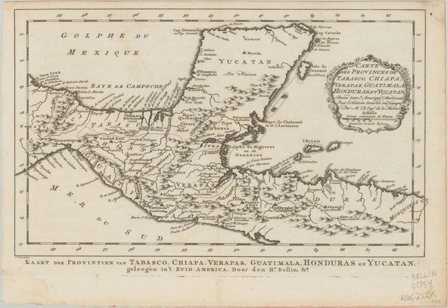
Subject: Southern Mexico & Central America

Period: 1773 (circa)

Publication: Historische Beschryving der Reizen... en Land-Togten...

Color: Black & White

Size:
13.3 x 8 inches
33.8 x 20.3 cm
Download High Resolution Image
(or just click on image to launch the Zoom viewer)

Nice detailed map of the Yucatan peninsula and northern Central America. Locates primary harbors, shoals and offshore islands including Cosumel, Ruatan and Bonacca. Guatemala is limited to a narrow strip along the Pacific coast and El Salvador has yet to be carved out of Honduras. Decorated with a fine title cartouche. This map was published in a Dutch edition of Antoine Francois Prevost d'Exiles' influential collection of travel narratives, L'Histoire Generale des Voyages with alternate Dutch title below the map.

References: Kapp (MCC-103) #45 plate X.

Condition: A

Issued folding on a bright sheet of watermarked paper with a faint dampstain confined to the bottom left blank margin.

Estimate: $80 - $100

Sold for: $120

Closed on 11/18/2020

Archived