Catalog Archive
Auction 180, Lot 31

NO RESERVE

"Carte des Deux Regions Polaires Jusqu'au 45 Degre de Latitude",
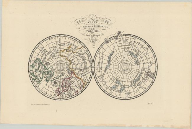
Subject: Polar

Period: 1790 (circa)

Publication:

Color: Hand Color

Size:
7.4 x 5 inches
18.8 x 12.7 cm
Download High Resolution Image
(or just click on image to launch the Zoom viewer)

Interesting map of the poles that shows numerous tracks of explorers, including Tasman, Furneaux, Halley, Marion, and the 1773 expedition of Cook. There is an unusual and utterly spurious Northwest Passage shown from Hudson Bay via Wager Inlet into la Gde. Eau des Sauvages, farther down into L. de Fonte and thus to the Pacific. There are many ice floes or icebergs depicted in both poles. This is a reduced-sized version of Comte de Buffon's map of the same title. This edition was printed by Lesauvage in Paris.

References:

Condition: A

A crisp and bright example with minor creasing.

Estimate: $60 - $80

Sold for: $55

Closed on 11/18/2020

Archived