Subject: Miami, Florida
Period: 1926 (dated)
Publication:
Color: Black & White
A folding map and three photographic items documenting the “Great Miami” Hurricane of 1926 that devastated the city and its economy:
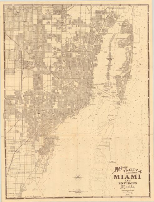
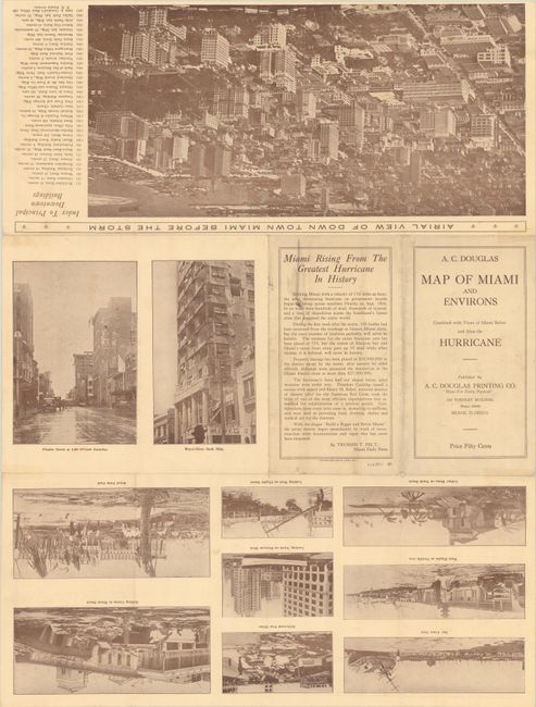
A. Map of Miami and Environs Combined with Views of Miami Before and After the Hurricane, by A.C. Douglas (17.9 x 24.2"). An early and detailed street map compiled and drawn by Sauer and Seghy. The map extends from Miami Shores south to Coral Gables and east to Miami Beach with good detail both on land and in the water. The verso contains an "Airial View of Down Town Miami Before the Storm” (8 x 15.5"), index to the buildings, and photos of the storm damage. Self-folding (4.7 x 8.5"). OCLC shows two locations for a similar map, but not this hurricane version. Condition: Issued folding with light offsetting and several fold separations along the sheet edges that have been closed on verso with archival tape.
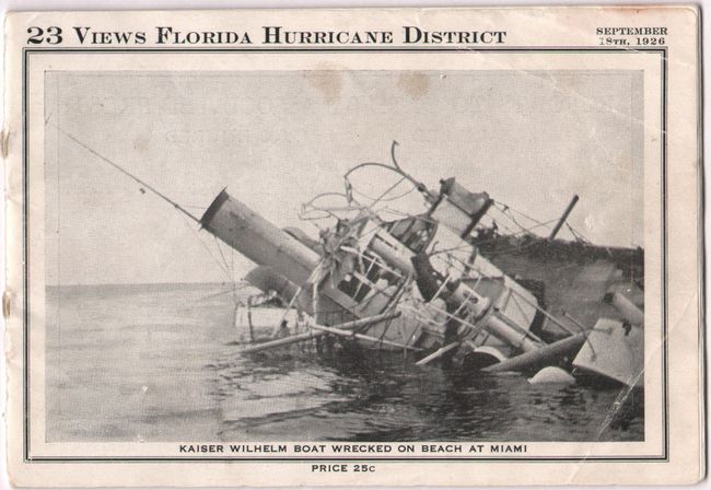
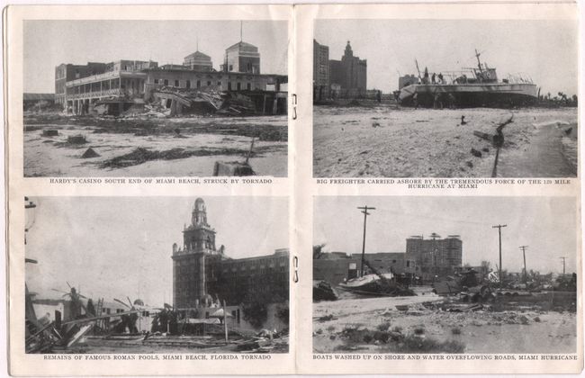
B. 23 Views Florida Hurricane District, by H. H. Hamm Co. (6.0 x 4.1"). An eye-opening compilation of 23 small photos showing the storm's devastation. Condition: Internally clean and bright. Minor staining to front wrapper and a surface abrasion to the rear wrapper.
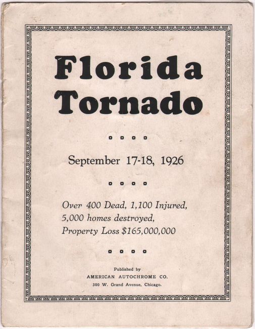
C. Florida Tornado - September 17-18, 1926 - Over 400 Dead, 1,100 Injured, 5,000 Homes Destroyed, Property Loss $165,000,000, by American Autochrome Co. (5.4 x 7.0"). Includes 16 photographs on 8 pages. Condition: Internally mostly clean with light soiling to wrapper.
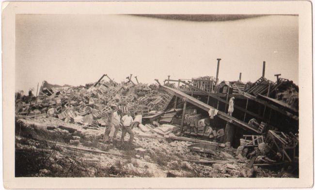
D. [Candid Photograph of Destruction] (4.1 x 2.4"). Condition: Very good.
References:
Condition: B+
See description above.