Catalog Archive
Auction 180, Lot 235

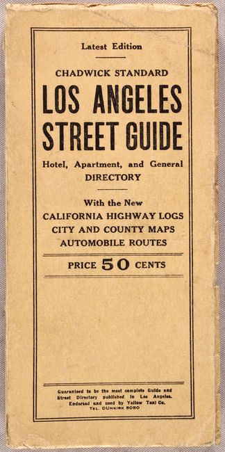
"Map of Los Angeles California [in] Chadwick Standard Los Angeles Street Guide Hotel, Apartment, and General Directory",

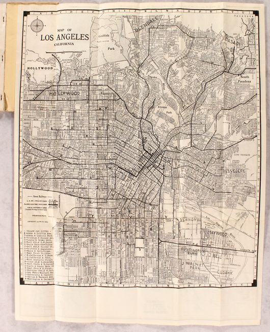
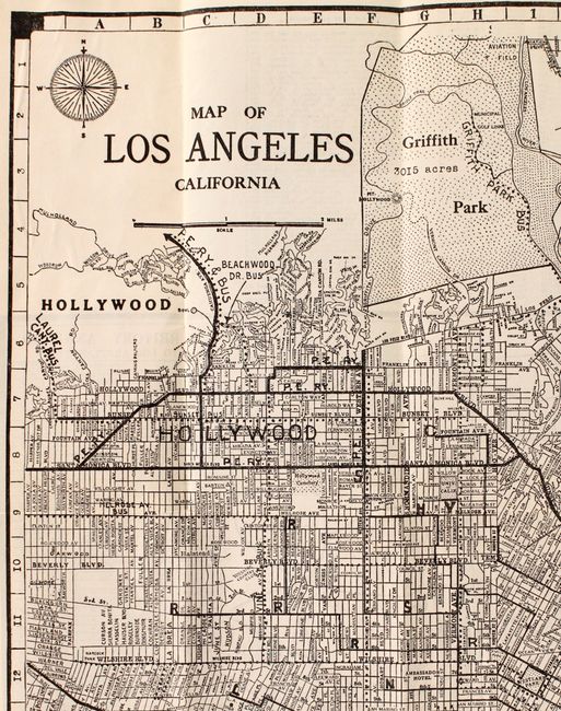
Subject: Los Angeles, California

Period: 1927 (published)

Publication:

Color: Black & White

Size:
15.9 x 18 inches
40.4 x 45.7 cm
Download High Resolution Image
(or just click on image to launch the Zoom viewer)

This detailed folding map by E.F. Hill extends from Inglewood and Huntington Park north to Griffith Park and Pasadena. A legend identifies the transportation network within the city, including the Los Angeles Railway, Pacific Electric Railway, bus lines, and railroads. The verso contains a map of the greater southern California region, highway routes, and a table of distances. Accompanied by 192 pages of text (mostly a street directory). Only one institutional copy of this 1927 edition located on OCLC (Stanford).

References:

Condition: A

The folding map is clean, bright, and fine. Text is clean and tight. Covers have minor wear and light soiling.

Estimate: $180 - $220

Sold for: $90

Closed on 11/18/2020

Archived