Catalog Archive
Auction 180, Lot 169

"County Map of Virginia, and North Carolina", Mitchell, Samuel Augustus

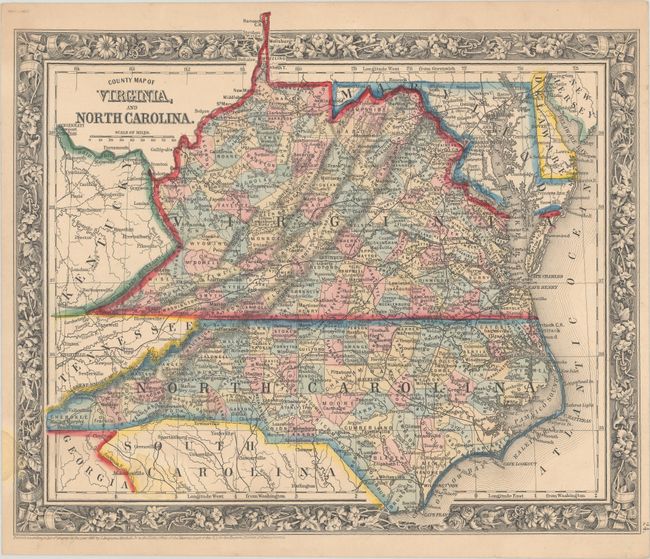
Subject: Virginia & North Carolina

Period: 1860 (dated)

Publication:

Color: Hand Color

Size:
13.3 x 11.1 inches
33.8 x 28.2 cm
Download High Resolution Image
(or just click on image to launch the Zoom viewer)

An attractive map issued just before the Civil War, with county configurations current to 1861 with the appearance of Giles County in southwestern Virginia. It is filled with details including the emerging railroad network, rivers, towns and cities, and more. Surrounded by a decorative grapevine border.

References:

Condition: B+

Pleasant light toning with a few small stains at bottom.

Estimate: $110 - $140

Sold for: $80

Closed on 11/18/2020

Archived