Catalog Archive
Auction 180, Lot 167
NO RESERVE
"Map of Delaware, Maryland, Virginia and West Virginia. Drawn and Engraved on Copper-Plate Expressly for Johnson's Cyclopaedia", Johnson, A. J.
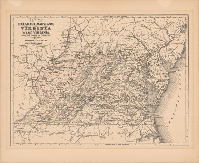
Subject: Mid-Atlantic United States
Period: 1890 (circa)
Publication: Johnson's Universal Cyclopaedia
Color: Black & White
Size:
11.9 x 8.8 inches
30.2 x 22.4 cm
Download High Resolution Image
(or just click on image to launch the Zoom viewer)
(or just click on image to launch the Zoom viewer)