Catalog Archive
Auction 180, Lot 166
NO RESERVE
"[Lot of 2] County Map of Pennsylvania, New Jersey, Maryland, and Delaware [and] County Map of New Jersey [on sheet with] County Map of Maryland and Delaware", Mitchell, Samuel Augustus
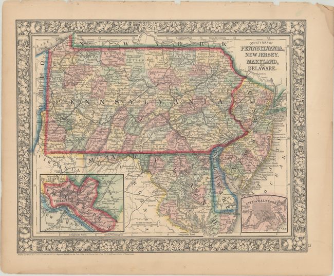
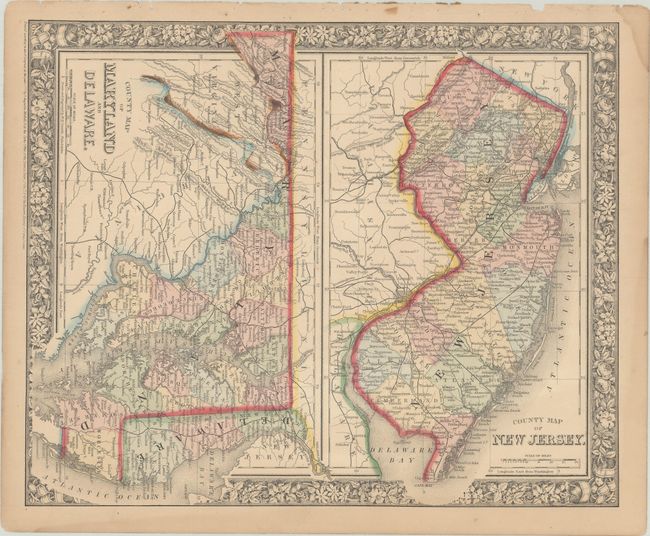
Subject: Mid-Atlantic United States
Period: 1860-64 (dated)
Publication:
Color: Hand Color
Size:
13.5 x 10.8 inches
34.3 x 27.4 cm
Download High Resolution Image
(or just click on image to launch the Zoom viewer)
(or just click on image to launch the Zoom viewer)