Catalog Archive
Auction 179, Lot 890

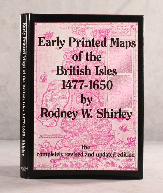
"Early Printed Maps of the British Isles 1477-1650", Shirley, Rodney W.

Subject: References, British Isles

Period: 1991 (published)

Publication:

Color: Black & White

Size:
8.6 x 12 inches
21.8 x 30.5 cm
Download High Resolution Image
(or just click on image to launch the Zoom viewer)

This is completely revised and reset edition of this reference, which traces the cartographic history of the British Isles from Ptolemy to Speed. This updated version includes 670 entries (like the 1980 edition) and 160 black & white plates (88 in the 1980 edition). 233 pages. Hardbound in maroon cloth with gilt titles on front cover and spine. An invaluable reference for collectors of maps of the U.K.

References:

Condition: A

Contents are clean and tight. Covers and dust jacket have minor shelf wear.

Estimate: $120 - $150

Sold for: $90

Closed on 9/16/2020

Archived