Subject: Atlases
Period: 1842 (published)
Publication:
Color: Hand Color
Size:
10 x 15.1 inches
25.4 x 38.4 cm
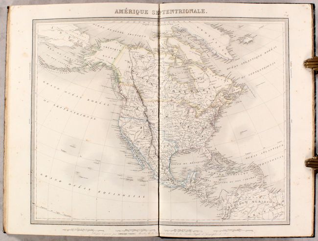
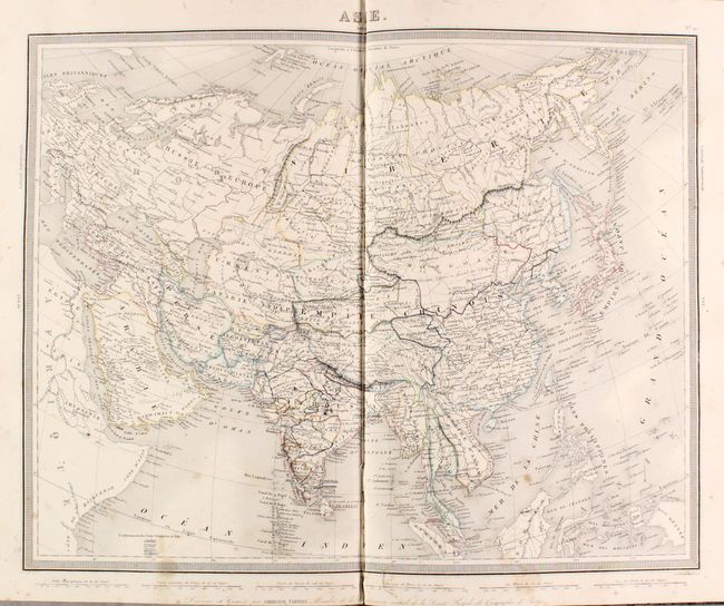
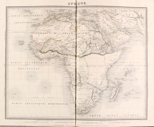
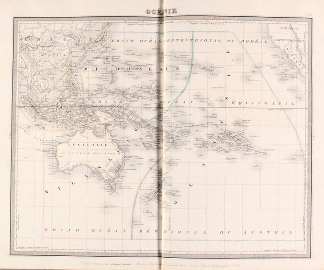
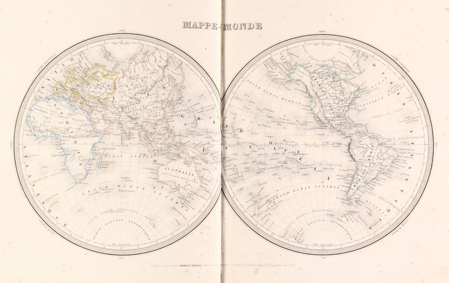
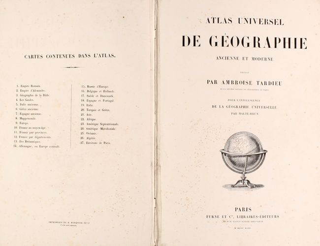
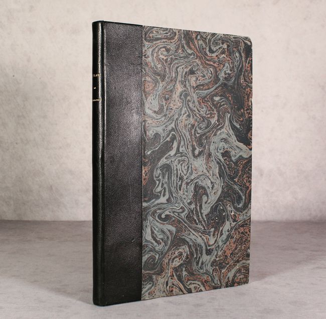
This nearly complete atlas (26 of 27 maps) consists of 7 ancient maps and 19 (of 20) modern maps. The missing map is Environs of Paris. Modern maps include the world, Europe, Asia, Africa, North America, South America, Australia, 11 regional maps of Europe, and a map of northwestern Africa. Of particular interest is the map of Amerique Septentrionale showing evolving political configurations. In the west, the boundary between the United States and Canada extends well into British Columbia, reflecting U.S. interests in the region. Mexico is still in control of the southwest, and Texas is a part of Mexico despite the publishing date. The maps are surrounded by a keyboard-style border with large block titles above the maps. Published by Malte-Brun. Hardbound in quarter leather over marbled boards with gilt tile on spine.
References:
Condition: B+
Original outline color with scattered foxing and occasional staining. The map of Algeria has two repaired edge tears confined to the lower blank margin. Modern binding is near fine with minor wear and bumped edges.