Subject: Northern & Central Africa
Period: 1826 (published)
Publication:
Color: Black & White
Size:
5.9 x 9.3 inches
15 x 23.6 cm
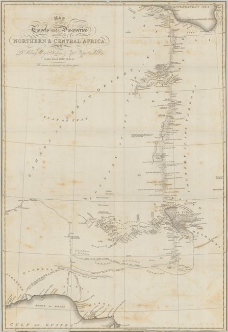
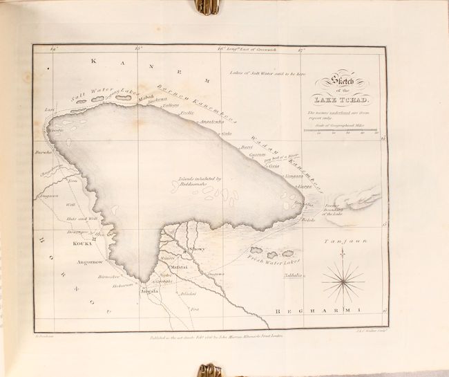
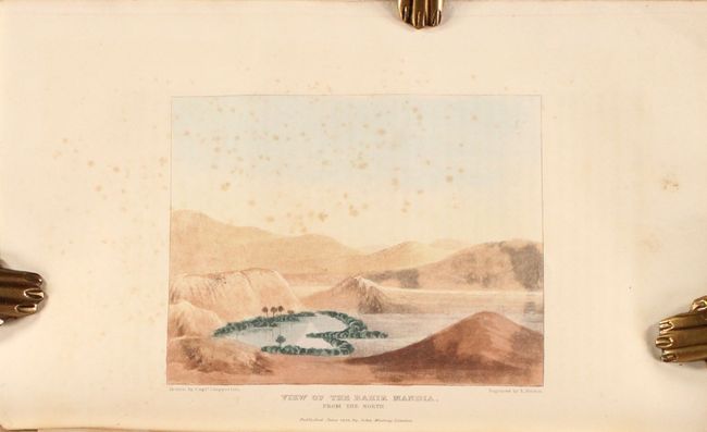
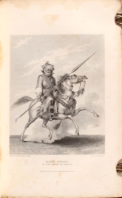
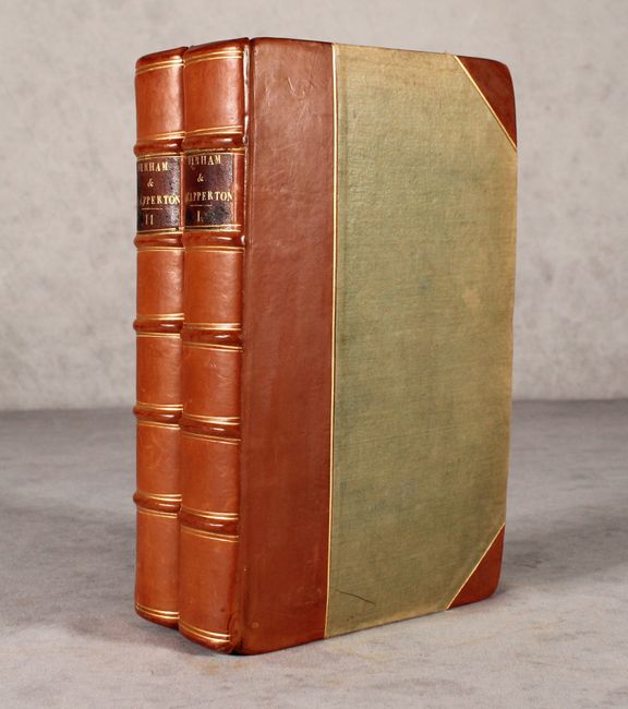
This is the account of Major Dixon Denham, Lieutenant Hugh Clapperton and Dr. Walter Oudney arduous journey to the interior of Africa. The British trio was sent to the region to establish trade links in Western Africa and to specifically trace the route of the Niger River. The narrative is accompanied by a folding map entitled Map of the Travels and Discoveries Made in Northern & Central Africa (16.2 x 23.3") that depicts their course from Tripoli, across the Sahara Desert, to the kingdom of Bornu. While they were the first documented Europeans to visit Lake Chad and proved that it was not the source of the Niger, they were unable to trace the river's course due to local leaders' concerns that they would interfere with the local slave trade. In addition to the folding map, the volumes are illustrated by 13 plates including 1 color plate of the Bahir Mandia and a small folding map of Lake Chad. Volume 1 (321 pages) includes 10 plates and the folding map at rear while volume 2 (413 pages) includes 3 plates. Second edition printed in London. Octavo, rebound in quarter faux leather with tips over green cloth.
References:
Condition:
The folding map is trimmed to the border on all sides with light offsetting and scattered foxing. Text and plates are very good with only occasional foxing. Rebound with some sunning, light wear, and bumped edges. Map (B) / Text, Plates & Binding (B+)