Catalog Archive
Auction 179, Lot 756

"Archipel des Indes Orientales, qui Comprend les Isles de la Sonde, Moluques et Philippines...", Robert de Vaugondy, Gilles

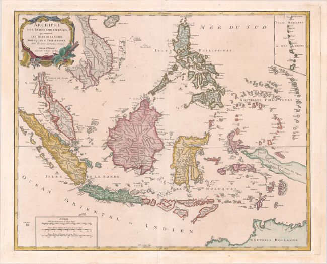
Subject: East Indies - Indonesia

Period: 1750 (dated)

Publication: Atlas Universel

Color: Hand Color

Size:
23.4 x 18.9 inches
59.4 x 48 cm
Download High Resolution Image
(or just click on image to launch the Zoom viewer)

A detailed depiction of the region centered on Borneo, showing Sumatra, Java, the Malay Peninsula, the Philippines, and the tips of New Guinea and Northern Australia (Nouvelle Hollande). An inset at upper right depicts the Marianas. The map names Sincapoura (Singapore) and Batavia (Jakarta) and locates the important Spice Islands. A decorative rococo-style title cartouche and three distance scales are also featured. Engraved by Guillaume Delahaye.

References: Pedley #413.

Condition: A

A crisp impression on a sheet with a small church watermark, a few minor spots, and short centerfold separations at top and bottom that have been professionally repaired.

Estimate: $475 - $600

Unsold

Closed on 9/16/2020

Archived